UN/LOCODE hub · Egypt
EGDAM
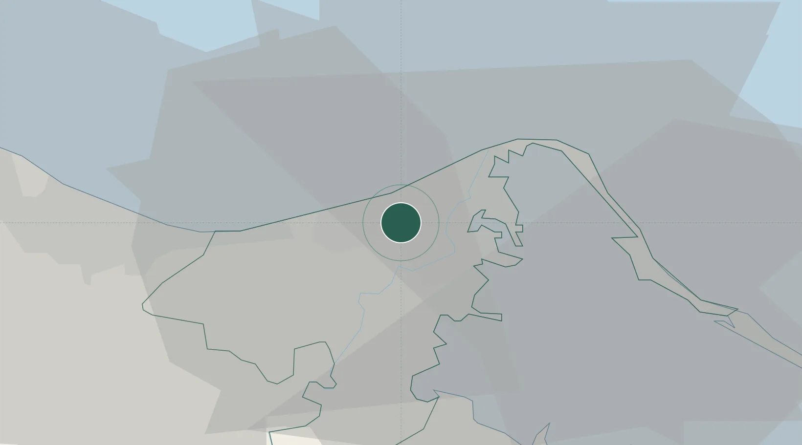
Dumyat (Damietta)
31.4523°, 31.7575°
4
Transport functions
2
Container terminals
Transport Functions
Port
Rail
Road
Airport
Hub Profile
Logistics facilities
6
Container terminals
2
Location
Nearby Logistics Neighbours
Cities
- 1Marsa Egyptian Propylene & Polypropylene41 km
- 2Al Mansurah60 km
- 3Port Said60 km
- 4Port Said East62 km
- 5Samannud75 km
Ports
- 1Bur Sa'id56 km
- 2El Ismailiya109 km
- 3El Maadiya154 km
- 4Abu Qir160 km
- 5As Suways182 km
Airports
- 1Port Said International Airport50 km
- 2Al Mansurah Airbase62 km
- 3Abu Suwayr Air Base103 km
- 4Birma Air Base104 km
- 5Ismailia Air Base105 km
Trade Zones
DatabookThe Record of Consolidated Knowledge
Egypt beyond logistics?