Medium airport · Egypt

Al Mansurah AirbaseHE32
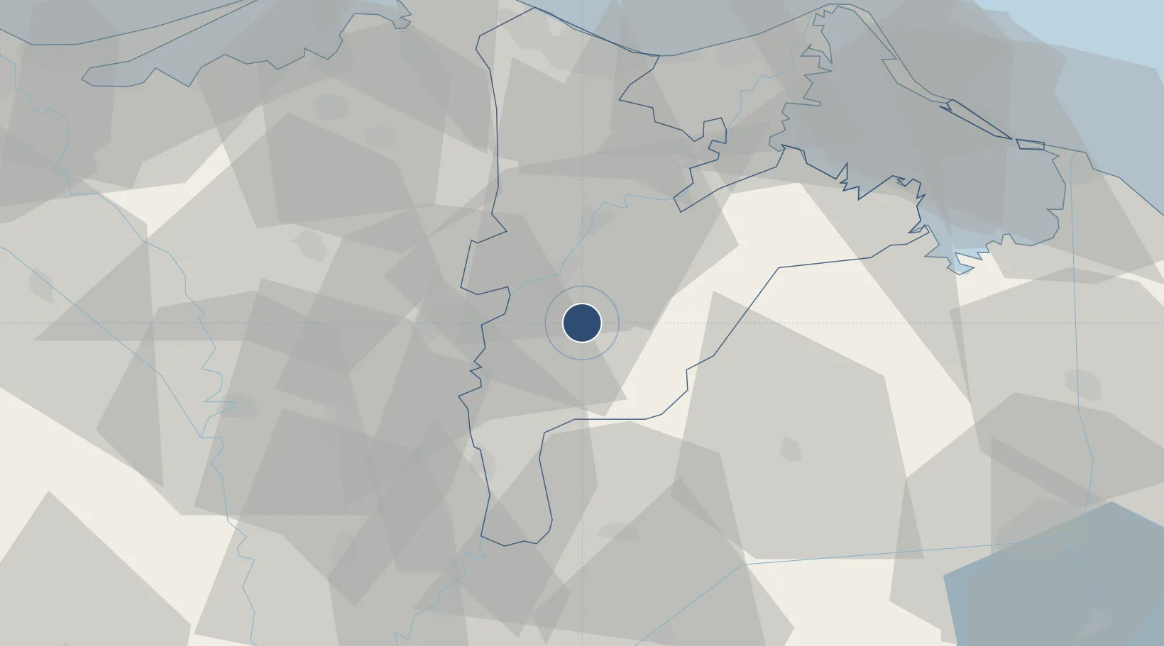
30.9676°, 31.4342°
9,084 ft
Longest runway
2
Runways
13 ft
Elevation

Runway & Layout

Al Mansurah Airbase runway & taxiway layout
Runway & taxiway layout — OpenStreetMap (ODbL) / OurAirports

Runways · 2

RunwayDimensions SurfaceTrue headingLit
14/32 9,084 × 131ft Asphalt 139°
17/35 9,047 × 131ft Asphalt 165°
OurAirports

Airport Specifications

Airport class
Medium airport
OurAirports
Scheduled service
No
OurAirports
Runway surface
Asphalt
OurAirports
Served city
Mansoura
OurAirports

Location

Location of HE32
Natural Earth 10m (public domain) · Ad Daqahliyah · HE32 · 30.97, 31.43GoogleOSMYandex

Nearby Logistics Neighbours

Airports
  1. 1Birma Air Base50 km
  2. 2Quesna Airport52 km
  3. 3Bilbeis 2 Airfield65 km
  4. 4Bilbeis Air Base66 km
  5. 5Abu Suwayr Air Base77 km
Nearest neighbours — logibook spatial index (haversine) over the source coordinates
Cities
  1. 1Al Mansurah10 km
  2. 2Samannud19 km
  3. 3Tanta49 km
  4. 4Quesna56 km
  5. 5Dumyat (Damietta)62 km
Nearest neighbours — logibook spatial index (haversine) over the source coordinates
Ports
  1. 1Damietta65 km
  2. 2Bur Sa'id89 km
  3. 3El Ismailiya92 km
  4. 4El Maadiya127 km
  5. 5Abu Qir135 km
Nearest neighbours — logibook spatial index (haversine) over the source coordinates
Trade Zones
  1. 1Mit Ghamr Investment Zone33 km
  2. 2Shebin El-koom Public Free Zone61 km
  3. 3Banha Investment Zone62 km
  4. 4Damietta Public Free Zone64 km
  5. 510th of Ramadan Free Zone82 km
Nearest neighbours — logibook spatial index (haversine) over the source coordinates
DatabookThe Record of Consolidated Knowledge
Egypt beyond logistics?
Browse databook

All Sources

AirportsOurAirports
Public domain
Portsthe NGA World Port Index
Public domain (US gov)
LocationsUN/LOCODE
UN/LOCODE — free
Trade Zonesthe World Bank SEZ database
CC BY 4.0
Trade ZonesOpen Zone Map
CC BY
InfrastructureOpenStreetMap
ODbL 1.0
← Egypt airports