Large airport · Egypt

Port Said International AirportHEPS
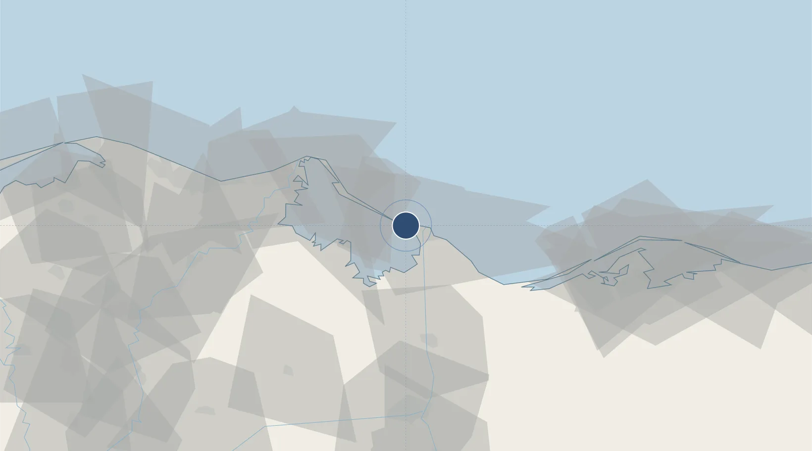
31.2793°, 32.2406°
7,707 ft
Longest runway
1
Runways
10 ft
Elevation

Runway & Layout

Port Said International Airport runway & taxiway layout
Runway & taxiway layout — OpenStreetMap (ODbL) / OurAirports

Radio Frequencies

TWR
120.7 MHz
RDO
579 MHz
OurAirports

Navaids

PSD VOR-DME Port Said 112.70 MHz
OurAirports

Runways · 1

RunwayDimensions SurfaceTrue headingLit
10/28 7,707 × 148ft Asphalt 106°
OurAirports

Airport Specifications

IATA code
PSD
OurAirports
ICAO code
HEPS
OurAirports
Airport class
Large airport
OurAirports
Scheduled service
Yes
OurAirports
Runway surface
Asphalt
OurAirports
Served city
Port Said
OurAirports

Location

Location of HEPS
Natural Earth 10m (public domain) · Ad Daqahliyah · HEPS · 31.28, 32.24GoogleOSMYandex

Nearby Logistics Neighbours

Airports
  1. 1Ismailia Air Base76 km
  2. 2Abu Suwayr Air Base80 km
  3. 3Al Mansurah Airbase84 km
  4. 4Bilbeis 2 Airfield110 km
  5. 5Bilbeis Air Base116 km
Nearest neighbours — logibook spatial index (haversine) over the source coordinates
Cities
  1. 1Marsa Egyptian Propylene & Polypropylene9 km
  2. 2Port Said11 km
  3. 3Port Said East13 km
  4. 4Dumyat (Damietta)50 km
  5. 5Al Mansurah88 km
Nearest neighbours — logibook spatial index (haversine) over the source coordinates
Ports
  1. 1Bur Sa'id6 km
  2. 2Damietta52 km
  3. 3El Ismailiya78 km
  4. 4As Suways149 km
  5. 5Al Arish152 km
Nearest neighbours — logibook spatial index (haversine) over the source coordinates
Trade Zones
  1. 1Port Said Public Free Zone6 km
  2. 2Damietta Public Free Zone48 km
  3. 3Ishmailia Public Free Zone75 km
  4. 4Mit Ghamr Investment Zone113 km
  5. 510th of Ramadan Free Zone121 km
Nearest neighbours — logibook spatial index (haversine) over the source coordinates
DatabookThe Record of Consolidated Knowledge
Egypt beyond logistics?
Browse databook

All Sources

AirportsOurAirports
Public domain
Portsthe NGA World Port Index
Public domain (US gov)
LocationsUN/LOCODE
UN/LOCODE — free
Trade Zonesthe World Bank SEZ database
CC BY 4.0
Trade ZonesOpen Zone Map
CC BY
InfrastructureOpenStreetMap
ODbL 1.0
← Egypt airports