Seaport · Egypt
DamiettaEGDAM
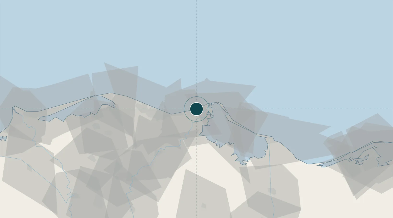
31.4833°, 31.7500°
14.0 m
Channel depth
2
Container terminals
265.6
Port liner connectivity
Channel & Berth Profile
Pilotage, Tugs & Services
Pilotage compulsoryYES
Tug assistanceYES
Potable waterYES
Diesel bunkersNO
MedicalYES
Garbage disposalNO
Facilities & Capabilities
Container—
Ro-Ro—
Liquid bulk—
Dry bulk—
Oil terminal—
Break bulk—
Dry dock—
Repairs—
BunkeringYES
Rail link—
Dangerous cargo—
ISPS security—
Harbour Specifications
Harbour size
Large
Harbour type
Coastal (Breakwater)
Shelter
Good
Water body
Mediterranean Sea; North Atlantic Ocean
Tidal range
1 m
Pilotage
Yes
Liner Connectivity
265.6
PLSCI
Port Liner Shipping Connectivity Index for Damietta, as published by UNCTAD for the latest available quarter. Higher values indicate stronger scheduled liner-shipping integration.
Shown relative to the highest per-port PLSCI in the dataset (1,657.9).
Location
Container Terminals · 2
DAMIETTA ALLIANCE CONTAINER TERMINAL
DACT DAMIETTA ALLIANCE CONTAINER TERMINALS JSC
DAMIETTA CONTAINER & HANDLING - DCHC
DCHC
Nearby Logistics Neighbours
Ports
- 1Bur Sa'id58 km
- 2El Ismailiya112 km
- 3El Maadiya154 km
- 4Abu Qir160 km
- 5As Suways185 km
Cities
- 1Marsa Egyptian Propylene & Polypropylene43 km
- 2Al Mansurah62 km
- 3Port Said62 km
- 4Port Said East64 km
- 5Samannud77 km
Airports
- 1Port Said International Airport52 km
- 2Al Mansurah Airbase65 km
- 3Birma Air Base106 km
- 4Abu Suwayr Air Base107 km
- 5Ismailia Air Base109 km
Trade Zones
DatabookThe Record of Consolidated Knowledge
Egypt beyond logistics?