Economic Revitalization Project · Egypt

Banha Investment Zone Active
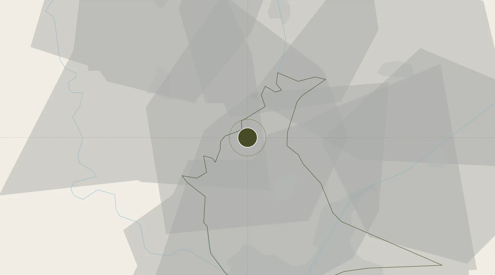
30.4538°, 31.1916°
7 ha
Zone area
105.6 km
Nearest port
15.1 km
Nearest airport

Gateway access

Nearest neighbours — logibook spatial index (haversine) over the source coordinates

Zone profile

Zone type
Economic Revitalization Project
Open Zone Map
Region
Al Qalyubiyah
Open Zone Map
Status
Active
Open Zone Map
Management
Public
Open Zone Map
Operator
General Authority for Investment & Free Zones
Open Zone Map
Legal framework
Law No. 83 on Special Economic Zones
Open Zone Map

Location

Location of ozm-1856
Natural Earth 10m (public domain) · Al Qalyubiyah · ozm-1856 · 30.45, 31.19GoogleOSMYandex

Nearby Logistics Neighbours

Ports
  1. 1El Ismailiya106 km
  2. 2Damietta126 km
  3. 3El Maadiya134 km
  4. 4El-Adabiya139 km
  5. 5Bur Sa'id139 km
Nearest neighbours — logibook spatial index (haversine) over the source coordinates
Airports
  1. 1Quesna Airport15 km
  2. 2Bilbeis Air Base40 km
  3. 3Cairo International Airport43 km
  4. 4Almaza Air Force Base43 km
  5. 5Cairo West Air Base46 km
Nearest neighbours — logibook spatial index (haversine) over the source coordinates
Cities
  1. 1Banha1 km
  2. 2Quesna13 km
  3. 3Qalyub32 km
  4. 4Bahtim36 km
  5. 5Tanta40 km
Nearest neighbours — logibook spatial index (haversine) over the source coordinates
Trade Zones
  1. 1Shebin El-koom Public Free Zone22 km
  2. 2Mit Ghamr Investment Zone29 km
  3. 3Arab Al Olayqat Investment Zone31 km
  4. 4Ain Shams University Investment Zone37 km
  5. 5Nasr Free Economic Zone45 km
Nearest neighbours — logibook spatial index (haversine) over the source coordinates
DatabookThe Record of Consolidated Knowledge
Egypt beyond logistics?
Browse databook

All Sources

Trade ZonesOpen Zone Map
CC BY
Portsthe NGA World Port Index
Public domain (US gov)
AirportsOurAirports
Public domain
LocationsUN/LOCODE
UN/LOCODE — free
← Egypt trade zones