Economic Revitalization Project · Egypt

Mit Ghamr Investment Zone Under Development
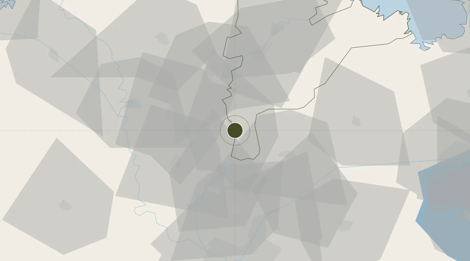
30.7018°, 31.2711°
7 ha
Zone area
97.7 km
Nearest port
19.3 km
Nearest airport

Gateway access

Nearest neighbours — logibook spatial index (haversine) over the source coordinates

Zone profile

Zone type
Economic Revitalization Project
Open Zone Map
Region
Ad Daqahliyah
Open Zone Map
Status
Under Development
Open Zone Map
Management
Public
Open Zone Map
Operator
General Authority for Investment & Free Zones
Open Zone Map
Legal framework
Law No. 83 on Special Economic Zones
Open Zone Map

Location

Location of ozm-1855
Natural Earth 10m (public domain) · Ad Daqahliyah · ozm-1855 · 30.70, 31.27GoogleOSMYandex

Nearby Logistics Neighbours

Ports
  1. 1El Ismailiya98 km
  2. 2Damietta98 km
  3. 3Bur Sa'id117 km
  4. 4El Maadiya124 km
  5. 5Abu Qir133 km
Nearest neighbours — logibook spatial index (haversine) over the source coordinates
Airports
  1. 1Quesna Airport19 km
  2. 2Al Mansurah Airbase33 km
  3. 3Birma Air Base35 km
  4. 4Bilbeis Air Base47 km
  5. 5Bilbeis 2 Airfield50 km
Nearest neighbours — logibook spatial index (haversine) over the source coordinates
Cities
  1. 1Quesna22 km
  2. 2Samannud28 km
  3. 3Tanta28 km
  4. 4Banha29 km
  5. 5Al Mansurah38 km
Nearest neighbours — logibook spatial index (haversine) over the source coordinates
Trade Zones
  1. 1Banha Investment Zone29 km
  2. 2Shebin El-koom Public Free Zone30 km
  3. 3Arab Al Olayqat Investment Zone54 km
  4. 4Ain Shams University Investment Zone58 km
  5. 510th of Ramadan Free Zone64 km
Nearest neighbours — logibook spatial index (haversine) over the source coordinates
DatabookThe Record of Consolidated Knowledge
Egypt beyond logistics?
Browse databook

All Sources

Trade ZonesOpen Zone Map
CC BY
Portsthe NGA World Port Index
Public domain (US gov)
AirportsOurAirports
Public domain
LocationsUN/LOCODE
UN/LOCODE — free
← Egypt trade zones