Transport Functions
Rail
Road
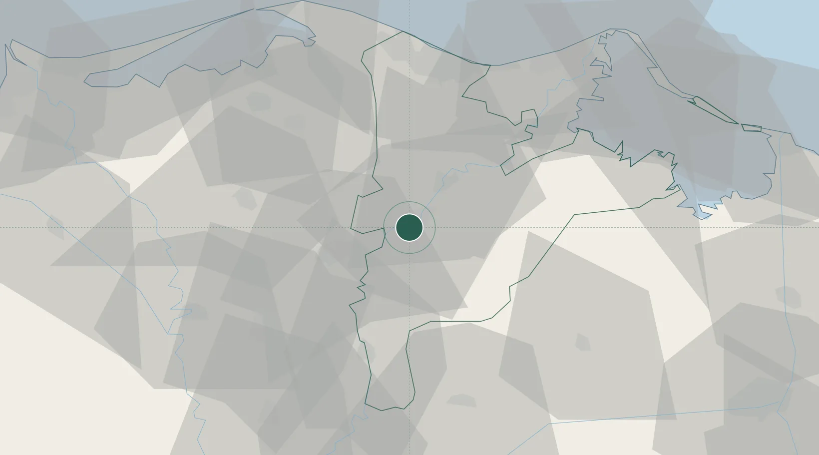
Hub Profile
Place type
Regional capital
Region
Dakahlia
Population
621,953
Time zone
Africa/Cairo
Elevation
15 m
Location
Nearby Logistics Neighbours
Cities
- 1Samannud16 km
- 2Tanta47 km
- 3Quesna59 km
- 4Dumyat (Damietta)60 km
- 5Banha67 km
Ports
- 1Damietta62 km
- 2Bur Sa'id93 km
- 3El Ismailiya101 km
- 4El Maadiya119 km
- 5Abu Qir127 km
Airports
- 1Al Mansurah Airbase10 km
- 2Birma Air Base47 km
- 3Quesna Airport55 km
- 4Bilbeis 2 Airfield74 km
- 5Bilbeis Air Base75 km
Trade Zones
DatabookThe Record of Consolidated Knowledge
Egypt beyond logistics?