Free Zone · Egypt
Damietta Public Free Zone Under Development
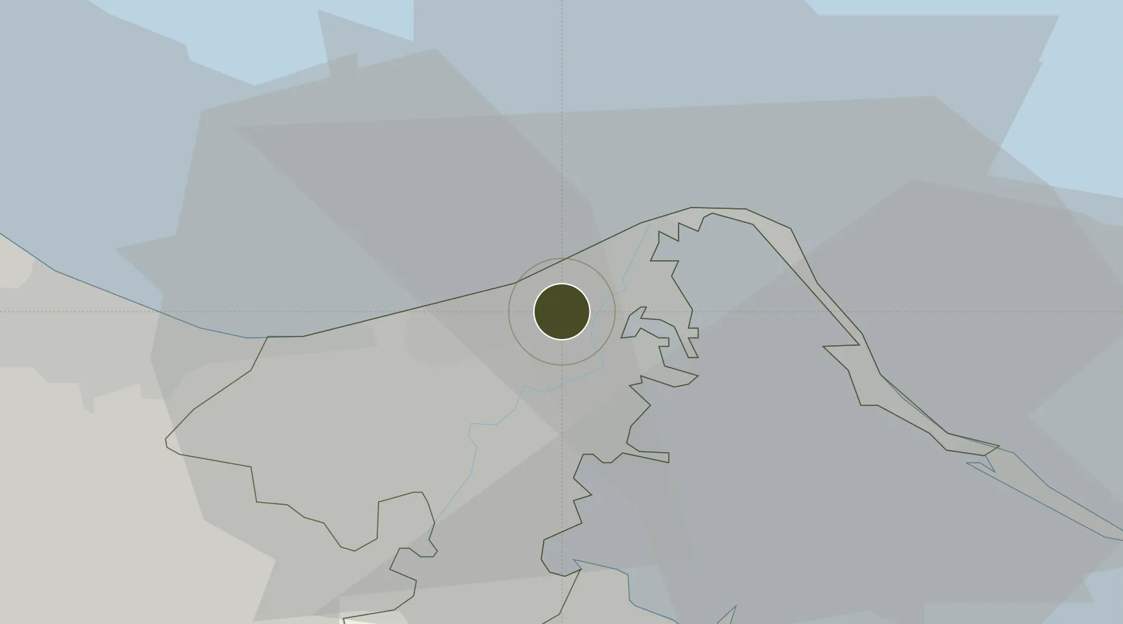
31.4617°, 31.7818°
76 ha
Zone area
3.9 km
Nearest port
48.0 km
Nearest airport
Gateway access
Zone profile
Zone type
Free Zone
Region
Dumyat
Status
Under Development
Established
1998
Management
Public agency
Operator
General Authority for Investment and Free Zones
Regulatory authority
General Authority for Investment and Free Zones
Legal framework
Investment Law No 8
Location
Fiscal & incentives
Corporate tax
23%
Tax relief
Reduced fixed-rate at 1%
Relief duration
Perpetual
VAT
No exemption
Import duty (inputs)
100% exempt
Import duty (capex)
100% exempt
Profit repatriation
100% exempt from profit transfer tax
Capital gains
No exemption
Withholding tax
No exemption
Min. investment
None
Min. export
50%
Employment incentive
No exemption
Developer incentive
No established framework
Nearby Logistics Neighbours
Ports
- 1Damietta4 km
- 2Bur Sa'id54 km
- 3El Ismailiya109 km
- 4El Maadiya156 km
- 5Abu Qir162 km
Airports
- 1Port Said International Airport48 km
- 2Al Mansurah Airbase64 km
- 3Abu Suwayr Air Base103 km
- 4Ismailia Air Base105 km
- 5Birma Air Base106 km
Cities
- 1Dumyat (Damietta)3 km
- 2Marsa Egyptian Propylene & Polypropylene39 km
- 3Port Said59 km
- 4Port Said East61 km
- 5Al Mansurah62 km
Trade Zones
- 1Port Said Public Free Zone54 km
- 2Mit Ghamr Investment Zone98 km
- 3Ishmailia Public Free Zone104 km
- 4Shebin El-koom Public Free Zone124 km
- 5Banha Investment Zone125 km
DatabookThe Record of Consolidated Knowledge
Egypt beyond logistics?