Transport Functions
Port
Road
Hub Profile
Place type
Populated place
Region
Western Cape
Time zone
Africa/Johannesburg
Elevation
15 m
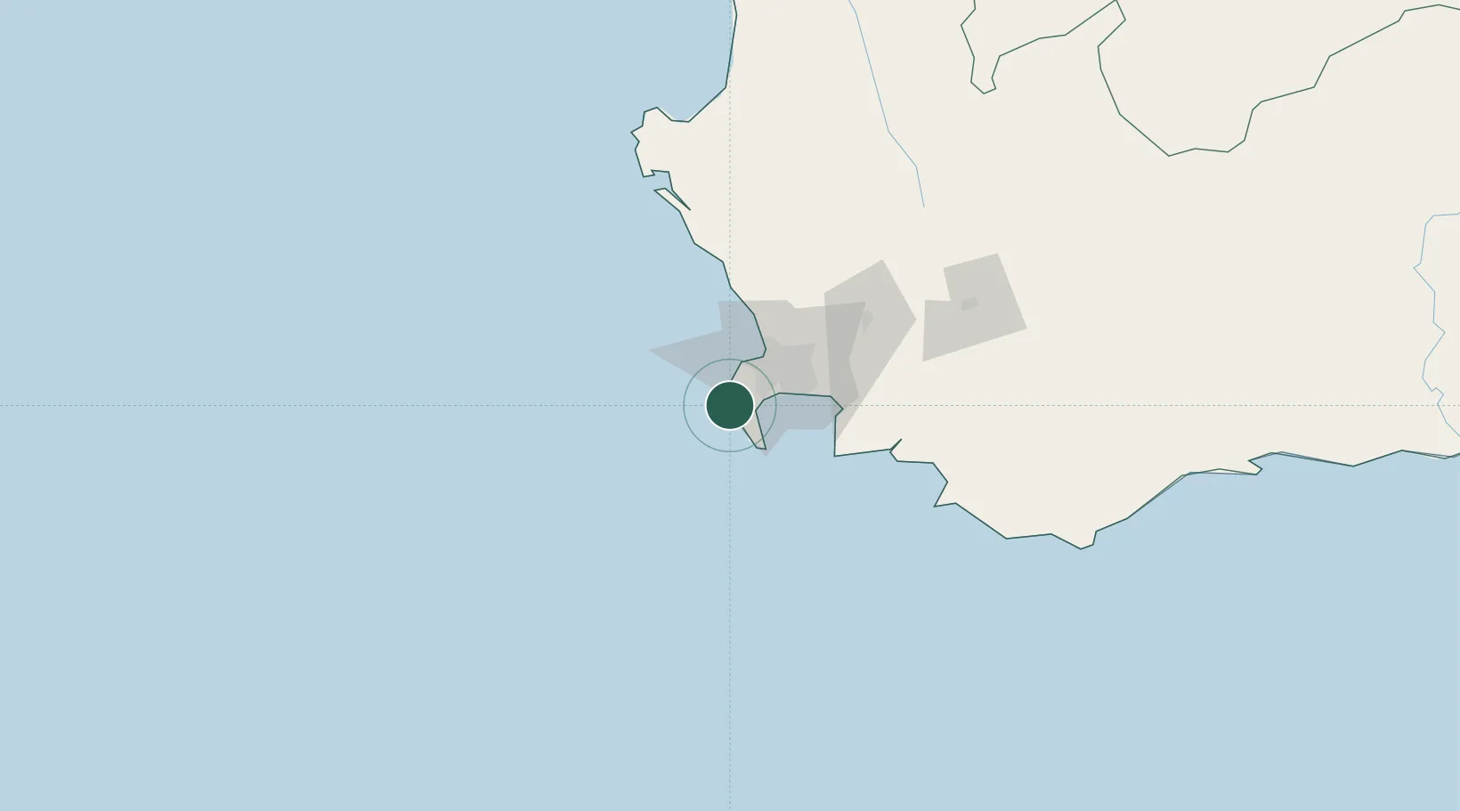
Location
Nearby Logistics Neighbours
Cities
- 1Kirstenhof (Kirstenbosch)8 km
- 2Hout Bay12 km
- 3Simon's Town12 km
- 4Tokai13 km
- 5Retreat15 km
Ports
- 1Simonstown12 km
- 2Cape Town26 km
- 3Saldanha Bay127 km
- 4Mossel Bay352 km
- 5Port Elizabeth675 km
Airports
- 1Ysterplaat Air Force Base31 km
- 2Cape Town International Airport32 km
- 3Langebaanweg Airport130 km
- 4Saldanha/Vredenburg Airport134 km
- 5Robertson Airport151 km
Trade Zones
DatabookThe Record of Consolidated Knowledge
South Africa beyond logistics?