UN/LOCODE hub · South Africa
ZASMN
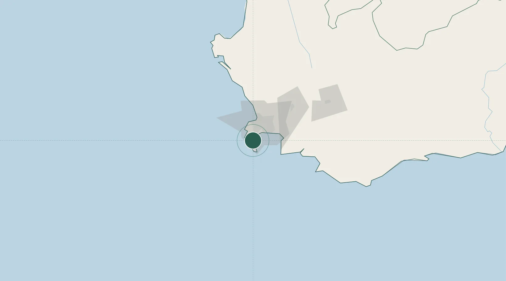
Simon's Town
-34.1833°, 18.4333°
6,569
Population
2
Transport functions
Transport Functions
Port
Road
Hub Profile
Place type
Populated place
Region
Western Cape
Population
6,569
Time zone
Africa/Johannesburg
Elevation
15 m
Location
Nearby Logistics Neighbours
Cities
- 1Kommetjie12 km
- 2Tokai13 km
- 3Retreat15 km
- 4Kirstenhof (Kirstenbosch)16 km
- 5Dieprivier17 km
Ports
- 1Cape Town30 km
- 2Saldanha Bay135 km
- 3Mossel Bay342 km
- 4Port Elizabeth664 km
- 5East London887 km
Airports
- 1Cape Town International Airport28 km
- 2Ysterplaat Air Force Base32 km
- 3Langebaanweg Airport137 km
- 4Robertson Airport142 km
- 5Saldanha/Vredenburg Airport142 km
Trade Zones
DatabookThe Record of Consolidated Knowledge
South Africa beyond logistics?