Transport Functions
Multimodal
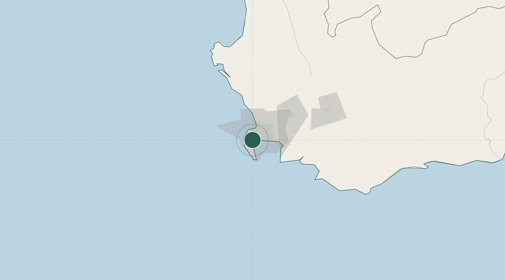
Hub Profile
Place type
Populated place
Region
Western Cape
Time zone
Africa/Johannesburg
Elevation
35 m
Location
Nearby Logistics Neighbours
Cities
- 1Retreat2 km
- 2Dieprivier5 km
- 3Constantia6 km
- 4Ottery7 km
- 5Hout Bay9 km
Ports
- 1Simonstown13 km
- 2Cape Town17 km
- 3Saldanha Bay123 km
- 4Mossel Bay342 km
- 5Port Elizabeth665 km
Airports
- 1Cape Town International Airport19 km
- 2Ysterplaat Air Force Base20 km
- 3Langebaanweg Airport125 km
- 4Saldanha/Vredenburg Airport130 km
- 5Robertson Airport139 km
Trade Zones
DatabookThe Record of Consolidated Knowledge
South Africa beyond logistics?