UN/LOCODE hub · South Africa
ZAKTH

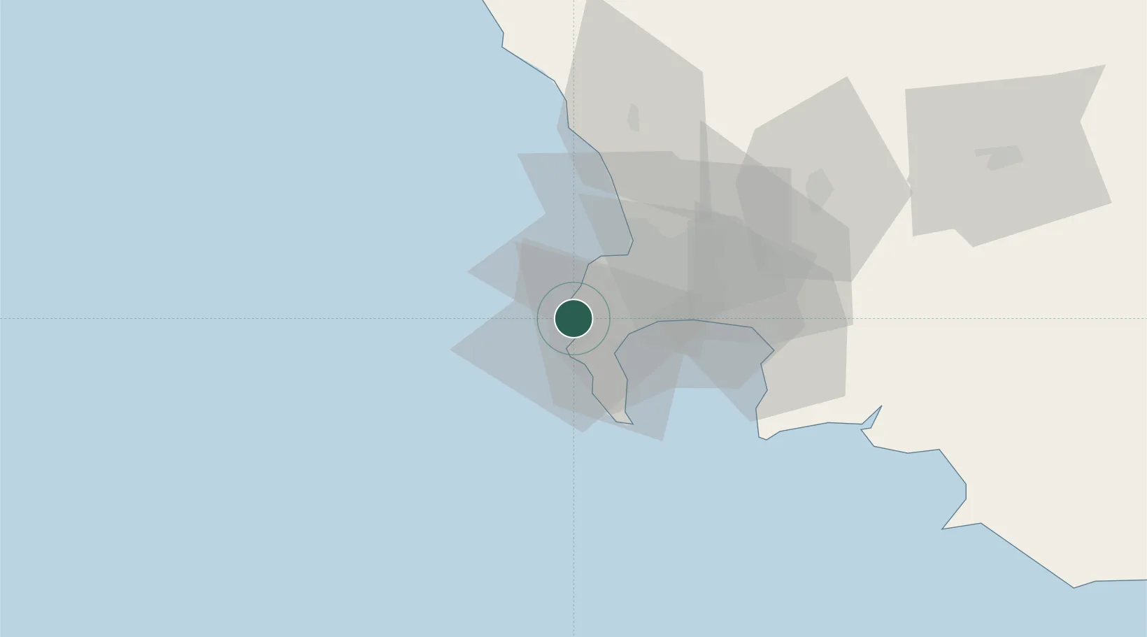
Kirstenhof (Kirstenbosch)

-34.0667°, 18.3333°
1
Transport functions

Transport Functions

Multimodal
UN/LOCODE

Hub Profile

Region
WC
GeoNames

Location

Location of ZAKTH
Natural Earth 10m (public domain) · WC · ZAKTH · -34.07, 18.33GoogleOSMYandex

Nearby Logistics Neighbours

Cities
  1. 1Hout Bay4 km
  2. 2Kommetjie8 km
  3. 3Tokai9 km
  4. 4Retreat11 km
  5. 5Constantia12 km
Nearest neighbours — logibook spatial index (haversine) over the source coordinates
Ports
  1. 1Simonstown16 km
  2. 2Cape Town18 km
  3. 3Saldanha Bay120 km
  4. 4Mossel Bay351 km
  5. 5Port Elizabeth674 km
Nearest neighbours — logibook spatial index (haversine) over the source coordinates
Airports
  1. 1Ysterplaat Air Force Base24 km
  2. 2Cape Town International Airport27 km
  3. 3Langebaanweg Airport123 km
  4. 4Saldanha/Vredenburg Airport127 km
  5. 5Robertson Airport148 km
Nearest neighbours — logibook spatial index (haversine) over the source coordinates
Trade Zones
  1. 1Atlantis Special Economic Zone55 km
  2. 2Saldanha Bay Special Economic Zone121 km
  3. 3Namakwa (Nama-Khoi) Special Economic Zone542 km
  4. 4Coega Industrial Development Zone678 km
  5. 5Upington Special Economic Zone685 km
Nearest neighbours — logibook spatial index (haversine) over the source coordinates
DatabookThe Record of Consolidated Knowledge
South Africa beyond logistics?
Browse databook

All Sources

LocationsUN/LOCODE
UN/LOCODE — free
Portsthe NGA World Port Index
Public domain (US gov)
AirportsOurAirports
Public domain
Trade Zonesthe World Bank SEZ database
CC BY 4.0
Trade ZonesOpen Zone Map
CC BY
← South Africa locations