Transport Functions
Multimodal
Hub Profile
Place type
Urban district
Region
Eastern Cape
Time zone
Africa/Johannesburg
Elevation
8 m
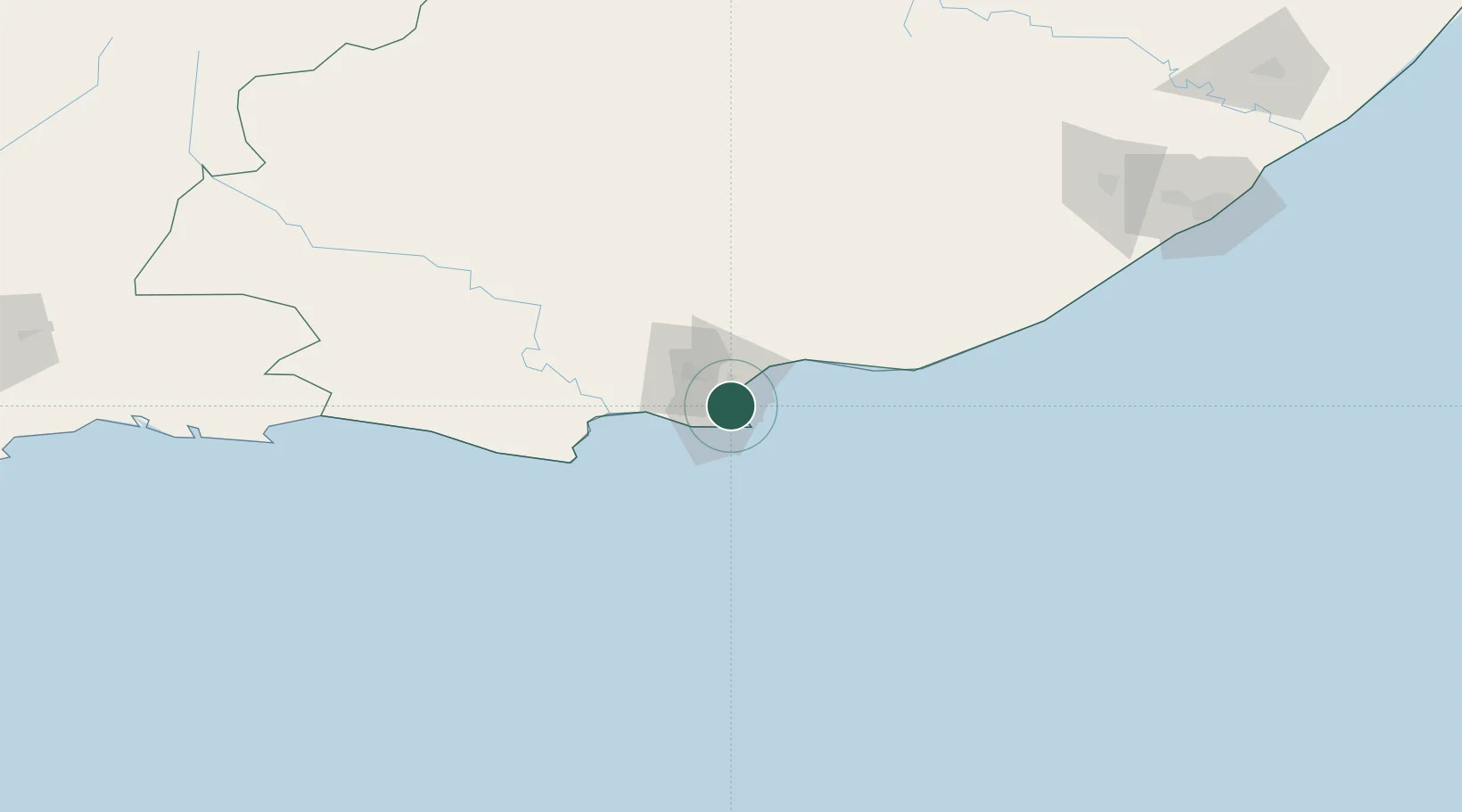
Location
Nearby Logistics Neighbours
Cities
- 1Newton Park4 km
- 2Korsten4 km
- 3New Brighton West6 km
- 4Summerstrand7 km
- 5Springfield7 km
Ports
- 1Port Elizabeth4 km
- 2East London237 km
- 3Mossel Bay319 km
- 4Simonstown660 km
- 5Cape Town663 km
Airports
- 1Chief Dawid Stuurman International Airport7 km
- 2Bisho Airport194 km
- 3Plettenberg Bay Airport210 km
- 4King Phalo Airport229 km
- 5Queenstown Airport254 km
Trade Zones
DatabookThe Record of Consolidated Knowledge
South Africa beyond logistics?