Transport Functions
Multimodal
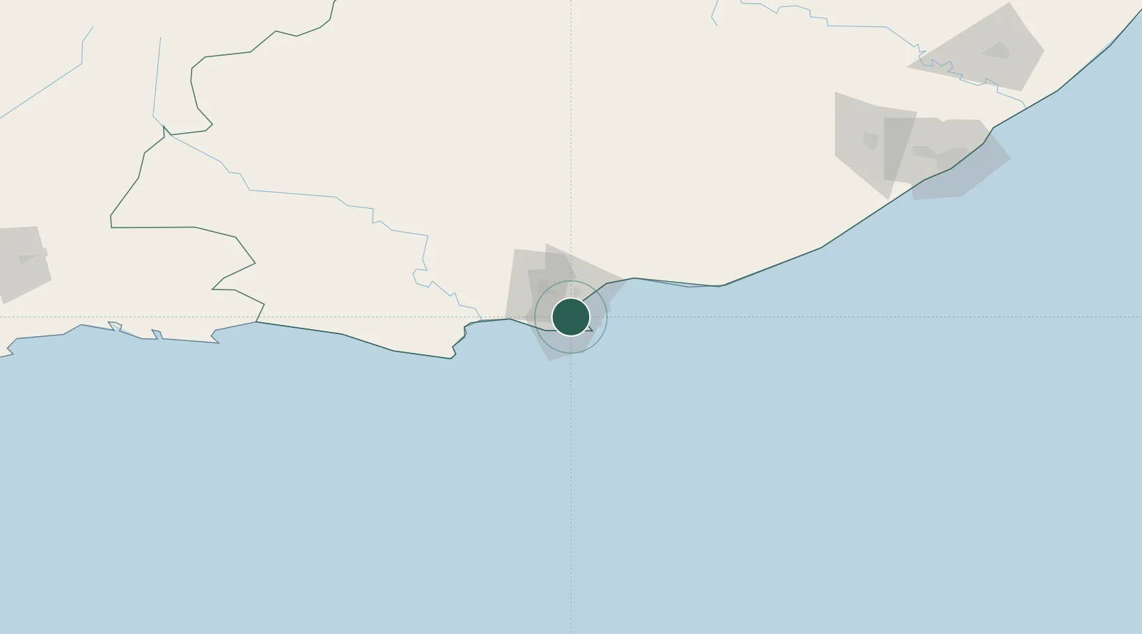
Hub Profile
Place type
Urban district
Region
Eastern Cape
Time zone
Africa/Johannesburg
Elevation
118 m
Location
Nearby Logistics Neighbours
Cities
- 1North End4 km
- 2Korsten4 km
- 3Springfield4 km
- 4New Brighton West8 km
- 5Summerstrand9 km
Ports
- 1Port Elizabeth7 km
- 2East London241 km
- 3Mossel Bay316 km
- 4Simonstown657 km
- 5Cape Town660 km
Airports
- 1Chief Dawid Stuurman International Airport6 km
- 2Bisho Airport197 km
- 3Plettenberg Bay Airport207 km
- 4King Phalo Airport233 km
- 5Queenstown Airport257 km
Trade Zones
DatabookThe Record of Consolidated Knowledge
South Africa beyond logistics?