Free Trade Zone · Saudi Arabia

Assir Industrial City Active
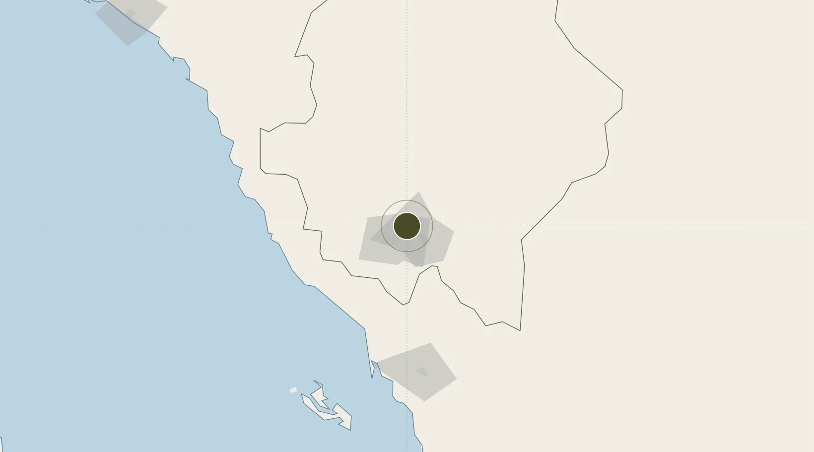
18.3407°, 42.6645°
270 ha
Zone area
161.3 km
Nearest port
11.2 km
Nearest airport

Gateway access

Nearest neighbours — logibook spatial index (haversine) over the source coordinates

Zone profile

Zone type
Free Trade Zone
Open Zone Map
Region
`Asir
Open Zone Map
Status
Active
Open Zone Map
Management
Public
Open Zone Map
Operator
Saudi Authority for Industrial Estates and Technology Zones
Open Zone Map
Legal framework
Ministerial Legislation No. 235 dated 27/8/1422H
Open Zone Map

Location

Location of ozm-4066
Natural Earth 10m (public domain) · `Asir · ozm-4066 · 18.34, 42.66GoogleOSMYandex

Nearby Logistics Neighbours

Ports
  1. 1Jizan161 km
  2. 2Salif338 km
  3. 3Ras Isa Marine Terminal357 km
  4. 4Al Ahmadi391 km
  5. 5Mitsiwa Harbor455 km
Nearest neighbours — logibook spatial index (haversine) over the source coordinates
Airports
  1. 1Abha International Airport11 km
  2. 2King Khalid Air Base15 km
  3. 3Jizan Regional Airport / King Abdullah bin Abdulaziz Airport160 km
  4. 4Bisha Airport183 km
  5. 5Najran Domestic Airport203 km
Nearest neighbours — logibook spatial index (haversine) over the source coordinates
Cities
  1. 1Muhayil70 km
  2. 2Al Qahmah111 km
  3. 3Jazan Economic City123 km
  4. 4Jizan161 km
  5. 5Al Qunfudah189 km
Nearest neighbours — logibook spatial index (haversine) over the source coordinates
Trade Zones
  1. 1Jazan Economic City118 km
  2. 2Jazan Industrial City167 km
  3. 3Najran Industrial City196 km
  4. 4Al-Baha Industrial City (First)247 km
  5. 5Al-Baha Industrial City (Second)255 km
Nearest neighbours — logibook spatial index (haversine) over the source coordinates
DatabookThe Record of Consolidated Knowledge
Saudi Arabia beyond logistics?
Browse databook

All Sources

Trade ZonesOpen Zone Map
CC BY
Portsthe NGA World Port Index
Public domain (US gov)
AirportsOurAirports
Public domain
LocationsUN/LOCODE
UN/LOCODE — free
← Saudi Arabia trade zones