Medium airport · United States

Alice International AirportKALI
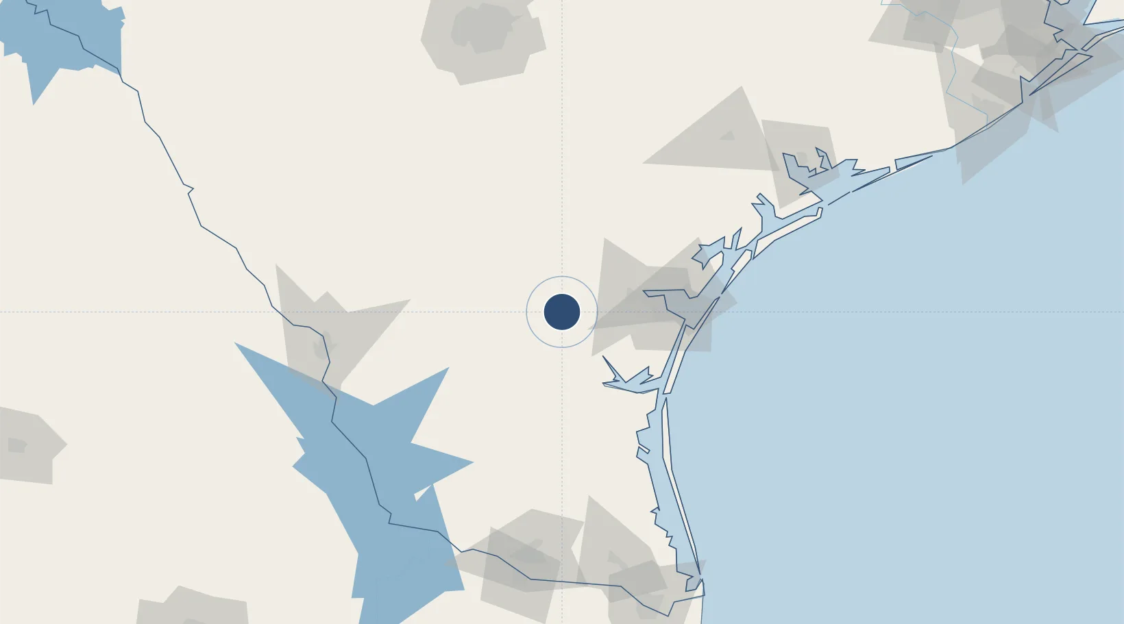
27.7409°, -98.0269°
5,997 ft
Longest runway
2
Runways
178 ft
Elevation

Runway & Layout

Alice International Airport runway & taxiway layout
Runway & taxiway layout — OpenStreetMap (ODbL) / OurAirports

Radio Frequencies

ASOS
119.225 MHz
APP
119.9 MHz
KINGSVILLE APP
DEP
119.9 MHz
KINGSVILLE DEP
RDO
122.6 MHz
SAN ANGELO RDO
UNIC
123 MHz
CTAF/UNICOM
OurAirports

Navaids

ALI VOR Alice 114.50 MHz
OurAirports

Runways · 2

RunwayDimensions SurfaceTrue headingLit
13/31 5,997 × 100ft Asphalt 134°
17/35 4,490 × 100ft Asphalt 179°
OurAirports

Airport Specifications

IATA code
ALI
OurAirports
ICAO code
KALI
OurAirports
Airport class
Medium airport
OurAirports
Scheduled service
No
OurAirports
Runway surface
Asphalt
OurAirports
Served city
Alice
OurAirports

Location

Location of KALI
Natural Earth 10m (public domain) · Texas · KALI · 27.74, -98.03GoogleOSMYandex

Nearby Logistics Neighbours

Airports
  1. 1Kingsville Naval Air Station34 km
  2. 2Corpus Christi International Airport52 km
  3. 3Naval Air Station Corpus Christi Truax Field73 km
  4. 4Laredo International Airport143 km
  5. 5Quetzalcóatl International Airport156 km
Nearest neighbours — logibook spatial index (haversine) over the source coordinates
Cities
  1. 1San Diego21 km
  2. 2Edroy42 km
  3. 3Mathis43 km
  4. 4Premont44 km
  5. 5Odem49 km
Nearest neighbours — logibook spatial index (haversine) over the source coordinates
Ports
  1. 1Corpus Christi62 km
  2. 2Port Ingleside83 km
  3. 3Port Aransas97 km
  4. 4Rockport101 km
  5. 5Port Lavaca169 km
Nearest neighbours — logibook spatial index (haversine) over the source coordinates
Trade Zones
  1. 1FTZ No. 122 Corpus Christi62 km
  2. 2FTZ No. 094 Laredo143 km
  3. 3FTZ No. 095 Starr County171 km
  4. 4FTZ No. 156 Weslaco176 km
  5. 5FTZ No. 157 Casper176 km
Nearest neighbours — logibook spatial index (haversine) over the source coordinates
DatabookThe Record of Consolidated Knowledge
United States beyond logistics?
Browse databook

All Sources

AirportsOurAirports
Public domain
Portsthe NGA World Port Index
Public domain (US gov)
LocationsUN/LOCODE
UN/LOCODE — free
Trade Zonesthe World Bank SEZ database
CC BY 4.0
Trade ZonesOpen Zone Map
CC BY
InfrastructureOpenStreetMap
ODbL 1.0
← United States airports