Medium airport · United States
Kingsville Naval Air StationKNQI
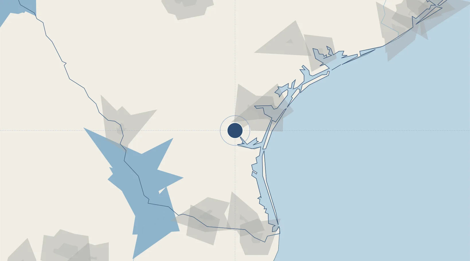
27.5072°, -97.8097°
8,000 ft
Longest runway
4
Runways
50 ft
Elevation
Runway & Layout

Radio Frequencies
ATIS
27.62 MHz
TWR
124.1 MHz
GND
35.24 MHz
CLD
32.84 MHz
CLNC DEL
APP
119.9 MHz
DEP
26.68 MHz
OPS
27.48 MHz
BASE OPS
PMSV
34.46 MHz
PMSV METRO
Navaids
NQI TACAN Kingsville 117.80 MHz
Runways · 4
| Runway | Dimensions | Surface | True heading | Lit |
|---|---|---|---|---|
| 13L/31R | 8,000 × 198ft | Asphalt / concrete | 134° | ✓ |
| 13R/31L | 8,000 × 198ft | Asphalt / concrete | 134° | ✓ |
| 17L/35R | 8,000 × 197ft | Asphalt / concrete | 179° | ✓ |
| 17R/35L | 8,000 × 198ft | Asphalt / concrete | 179° | ✓ |
Airport Specifications
IATA code
NQI
ICAO code
KNQI
Airport class
Medium airport
Scheduled service
No
Runway surface
Asphalt / concrete
Served city
Kingsville
Location
Nearby Logistics Neighbours
Airports
Ports
- 1Corpus Christi53 km
- 2Port Ingleside71 km
- 3Port Aransas83 km
- 4Rockport94 km
- 5Port Isabel170 km
Trade Zones
- 1FTZ No. 122 Corpus Christi53 km
- 2FTZ No. 156 Weslaco152 km
- 3FTZ No. 157 Casper152 km
- 4FTZ No. 012 McAllen158 km
- 5FTZ No. 095 Starr County161 km
DatabookThe Record of Consolidated Knowledge
United States beyond logistics?