UN/LOCODE hub · United States
US2SI

Sinton

28.0333°, -97.5000°
5,736
Population
2
Transport functions

Transport Functions

Port
Road
UN/LOCODE

Hub Profile

Place type
Provincial seat
GeoNames
Region
Texas
GeoNames
Population
5,736
GeoNames
Time zone
America/Chicago
GeoNames
Elevation
15 m
GeoNames

Location

Location of US2SI
Natural Earth 10m (public domain) · Texas · US2SI · 28.03, -97.50GoogleOSMYandex

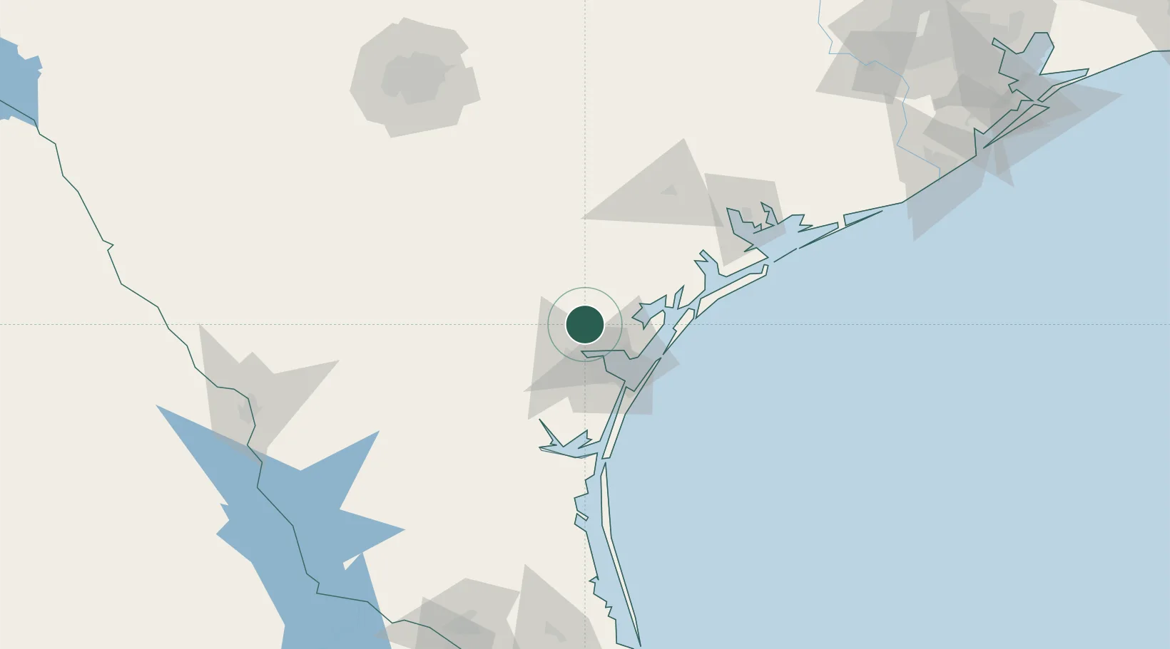
Nearby Logistics Neighbours

Cities
  1. 1Odem12 km
  2. 2Edroy20 km
  3. 3Gregory25 km
  4. 4Portland26 km
  5. 5Mathis32 km
Nearest neighbours — logibook spatial index (haversine) over the source coordinates
Ports
  1. 1Corpus Christi26 km
  2. 2Port Ingleside39 km
  3. 3Rockport44 km
  4. 4Port Aransas50 km
  5. 5Port Lavaca108 km
Nearest neighbours — logibook spatial index (haversine) over the source coordinates
Airports
  1. 1Corpus Christi International Airport29 km
  2. 2Naval Air Station Corpus Christi Truax Field43 km
  3. 3Alice International Airport61 km
  4. 4Kingsville Naval Air Station66 km
  5. 5Victoria Regional Airport107 km
Nearest neighbours — logibook spatial index (haversine) over the source coordinates
Trade Zones
  1. 1FTZ No. 122 Corpus Christi27 km
  2. 2FTZ No. 094 Laredo201 km
  3. 3FTZ No. 080 San Antonio205 km
  4. 4FTZ No. 156 Weslaco215 km
  5. 5FTZ No. 157 Casper215 km
Nearest neighbours — logibook spatial index (haversine) over the source coordinates
DatabookThe Record of Consolidated Knowledge
United States beyond logistics?
Browse databook

All Sources

LocationsUN/LOCODE
UN/LOCODE — free
LocationsGeoNames
CC BY 4.0
Portsthe NGA World Port Index
Public domain (US gov)
AirportsOurAirports
Public domain
Trade Zonesthe World Bank SEZ database
CC BY 4.0
Trade ZonesOpen Zone Map
CC BY
← United States locations