UN/LOCODE hub · United States
USDTP
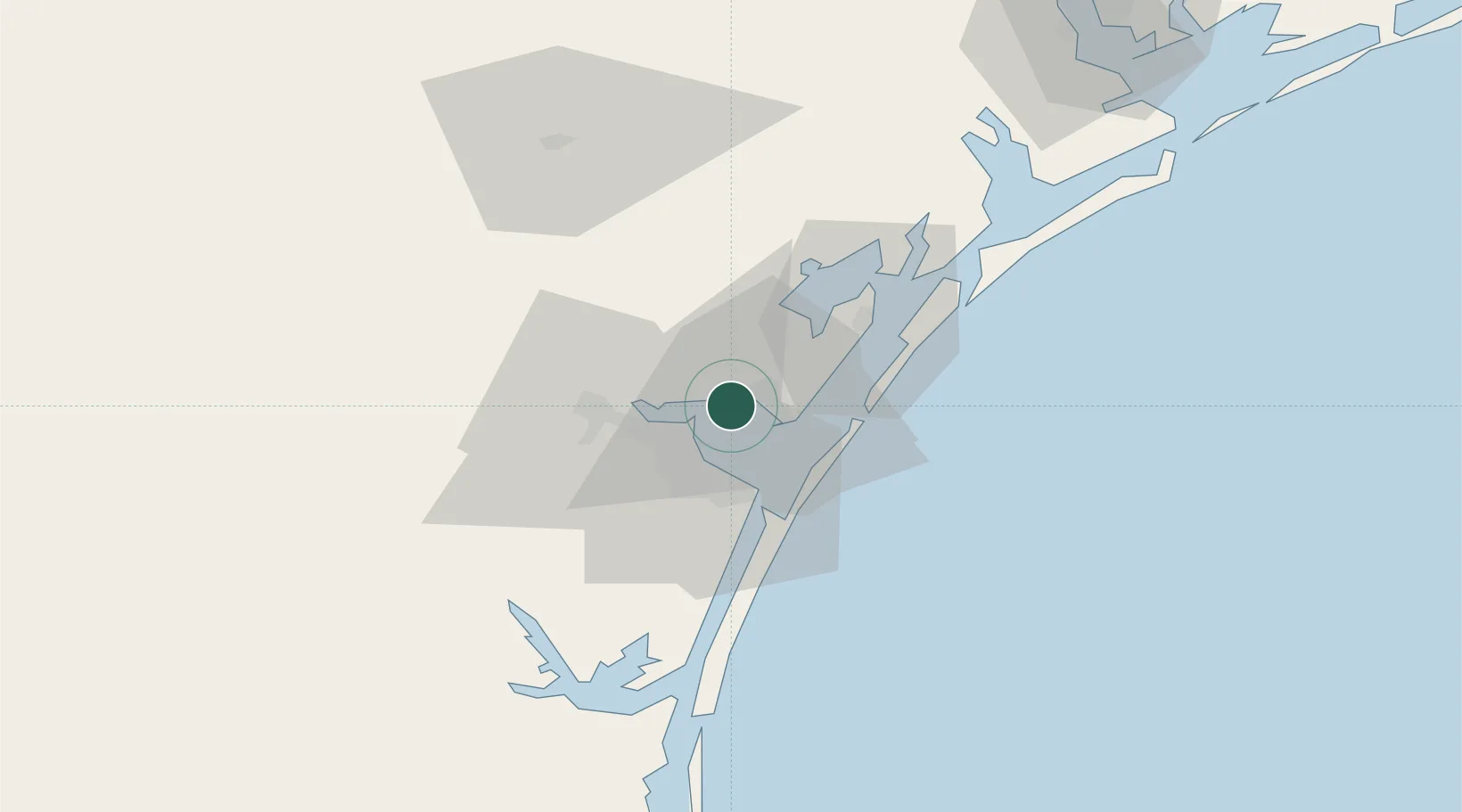
Portland
27.8667°, -97.3167°
16,116
Population
3
Transport functions
Transport Functions
Port
Rail
Road
Hub Profile
Place type
Populated place
Region
Texas
Population
16,116
Time zone
America/Chicago
Elevation
13 m
Location
Nearby Logistics Neighbours
Cities
- 1Gregory7 km
- 2Ingleside12 km
- 3Aransas Pass17 km
- 4Harbor Island25 km
- 5Sinton26 km
Ports
- 1Corpus Christi10 km
- 2Port Ingleside14 km
- 3Port Aransas27 km
- 4Rockport31 km
- 5Port Lavaca108 km
Airports
Trade Zones
- 1FTZ No. 122 Corpus Christi10 km
- 2FTZ No. 156 Weslaco203 km
- 3FTZ No. 157 Casper203 km
- 4FTZ No. 012 McAllen213 km
- 5FTZ No. 062 Brownsville213 km
DatabookThe Record of Consolidated Knowledge
United States beyond logistics?