UN/LOCODE hub · United States
USYAS
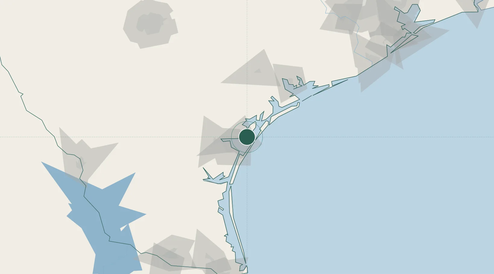
Aransas Pass
27.9000°, -97.1500°
8,530
Population
4
Transport functions
Transport Functions
Port
Rail
Road
Multimodal
Hub Profile
Place type
Populated place
Region
Texas
Population
8,530
Time zone
America/Chicago
Elevation
5 m
Location
Nearby Logistics Neighbours
Cities
- 1Ingleside6 km
- 2Harbor Island9 km
- 3Gregory13 km
- 4Portland17 km
- 5Sinton37 km
Ports
- 1Port Ingleside10 km
- 2Rockport16 km
- 3Corpus Christi26 km
- 4Port Lavaca95 km
- 5Palacios126 km
Airports
Trade Zones
- 1FTZ No. 122 Corpus Christi26 km
- 2FTZ No. 149 Freeport204 km
- 3FTZ No. 156 Weslaco212 km
- 4FTZ No. 157 Casper212 km
- 5FTZ No. 062 Brownsville218 km
DatabookThe Record of Consolidated Knowledge
United States beyond logistics?