Transport Functions
Port
Hub Profile
Place type
Urban district
Region
Washington
Time zone
America/Los_Angeles
Elevation
0 m
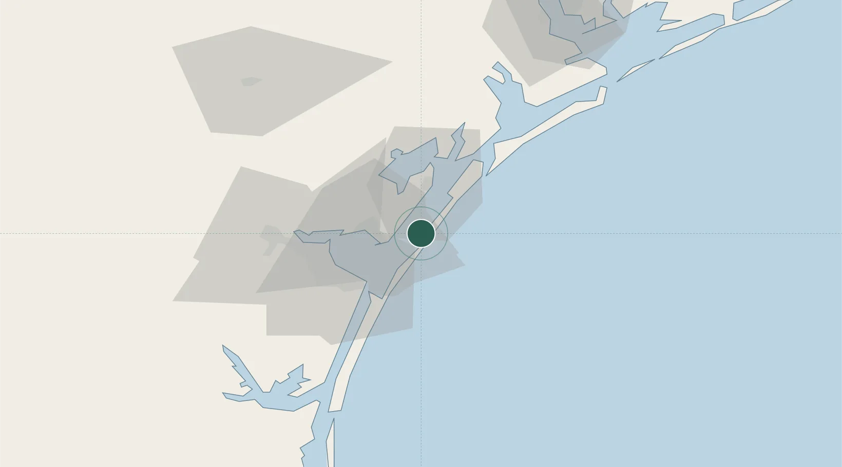
Location
Nearby Logistics Neighbours
Cities
- 1Aransas Pass9 km
- 2Ingleside13 km
- 3Gregory22 km
- 4Portland25 km
- 5Sinton46 km
Ports
- 1Port Aransas4 km
- 2Port Ingleside13 km
- 3Rockport17 km
- 4Corpus Christi33 km
- 5Port Lavaca94 km
Airports
Trade Zones
- 1FTZ No. 122 Corpus Christi33 km
- 2FTZ No. 149 Freeport199 km
- 3FTZ No. 156 Weslaco212 km
- 4FTZ No. 157 Casper212 km
- 5FTZ No. 062 Brownsville216 km
DatabookThe Record of Consolidated Knowledge
United States beyond logistics?