Foreign Trade Zone · United States
FTZ No. 157 Casper Active
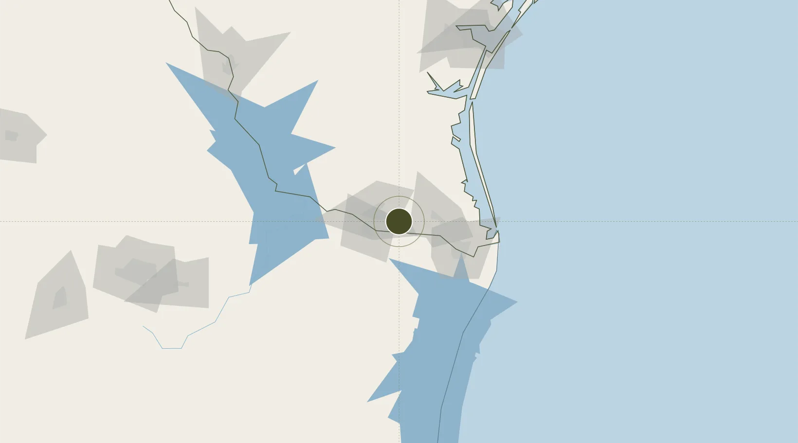
26.1559°, -98.0207°
66.1 km
Nearest port
21.8 km
Nearest airport
Gateway access
Zone profile
Zone type
Foreign Trade Zone
Region
Texas
Status
Active
Management
Public-Private Partnership
Operator
Natrona County International Airport
Legal framework
Foreign-Trade Zones Act
Location
Nearby Logistics Neighbours
Ports
- 1Brownsville66 km
- 2Port Isabel82 km
- 3Corpus Christi195 km
- 4Port Ingleside203 km
- 5Port Aransas210 km
Airports
Cities
- 1San Juan13 km
- 2Hidalgo21 km
- 3Ciudad Río Bravo22 km
- 4Hidalgo23 km
- 5Reynosa27 km
Trade Zones
- 1FTZ No. 156 Weslaco0 km
- 2FTZ No. 012 McAllen25 km
- 3FTZ No. 062 Brownsville65 km
- 4FTZ No. 095 Starr County83 km
- 5FTZ No. 122 Corpus Christi194 km
DatabookThe Record of Consolidated Knowledge
United States beyond logistics?