Transport Functions
Rail
Road
Multimodal
Hub Profile
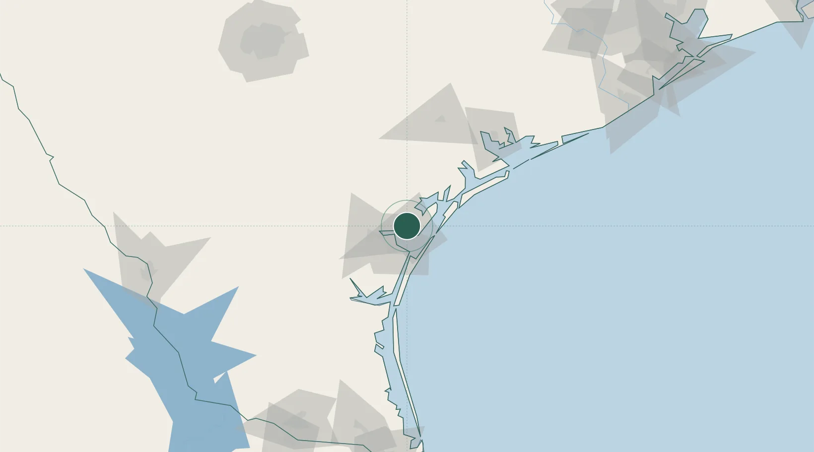
Place type
Populated place
Region
Texas
Population
1,992
Time zone
America/Chicago
Elevation
9 m
Location
Nearby Logistics Neighbours
Cities
- 1Portland7 km
- 2Ingleside10 km
- 3Aransas Pass13 km
- 4Harbor Island22 km
- 5Sinton25 km
Ports
- 1Port Ingleside15 km
- 2Corpus Christi16 km
- 3Port Aransas25 km
- 4Rockport26 km
- 5Port Lavaca102 km
Airports
Trade Zones
- 1FTZ No. 122 Corpus Christi16 km
- 2FTZ No. 156 Weslaco209 km
- 3FTZ No. 157 Casper209 km
- 4FTZ No. 149 Freeport214 km
- 5FTZ No. 094 Laredo219 km
DatabookThe Record of Consolidated Knowledge
United States beyond logistics?