Foreign Trade Zone · United States
FTZ No. 062 Brownsville Active
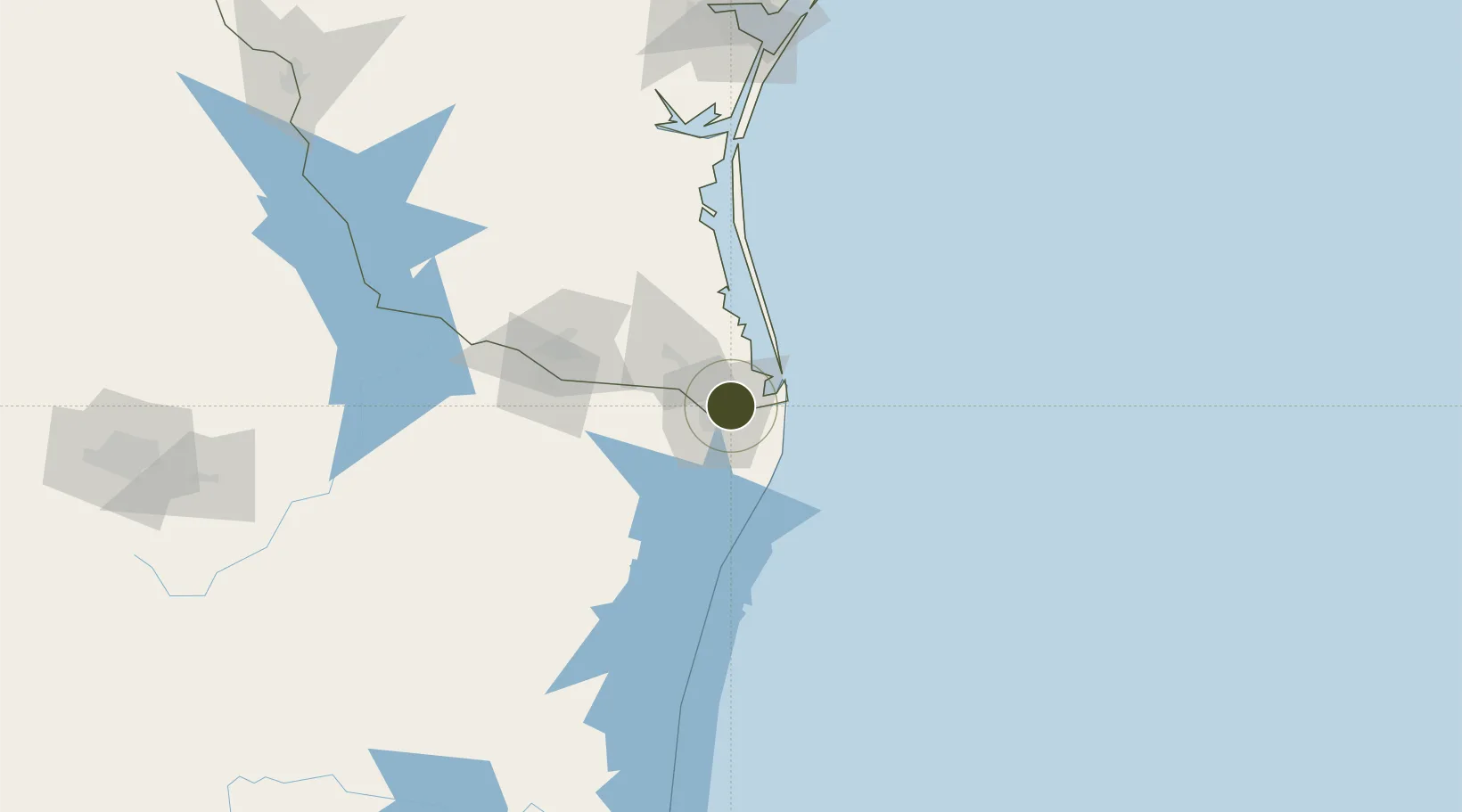
25.9509°, -97.4111°
1.1 km
Nearest port
5.1 km
Nearest airport
Gateway access
Zone profile
Zone type
Foreign Trade Zone
Region
Texas
Status
Active
Management
Public
Operator
Brownsville Navigation District
Legal framework
Foreign-Trade Zones Act
Location
Nearby Logistics Neighbours
Ports
- 1Brownsville1 km
- 2Port Isabel26 km
- 3Corpus Christi208 km
- 4Port Ingleside209 km
- 5Port Aransas212 km
Airports
Cities
- 1Brownsville4 km
- 2Los Fresnos14 km
- 3Olmito14 km
- 4South Padre Island31 km
- 5Los Indios36 km
Trade Zones
- 1FTZ No. 156 Weslaco65 km
- 2FTZ No. 157 Casper65 km
- 3FTZ No. 012 McAllen89 km
- 4FTZ No. 095 Starr County148 km
- 5FTZ No. 122 Corpus Christi207 km
DatabookThe Record of Consolidated Knowledge
United States beyond logistics?