UN/LOCODE hub · United States
USFIM
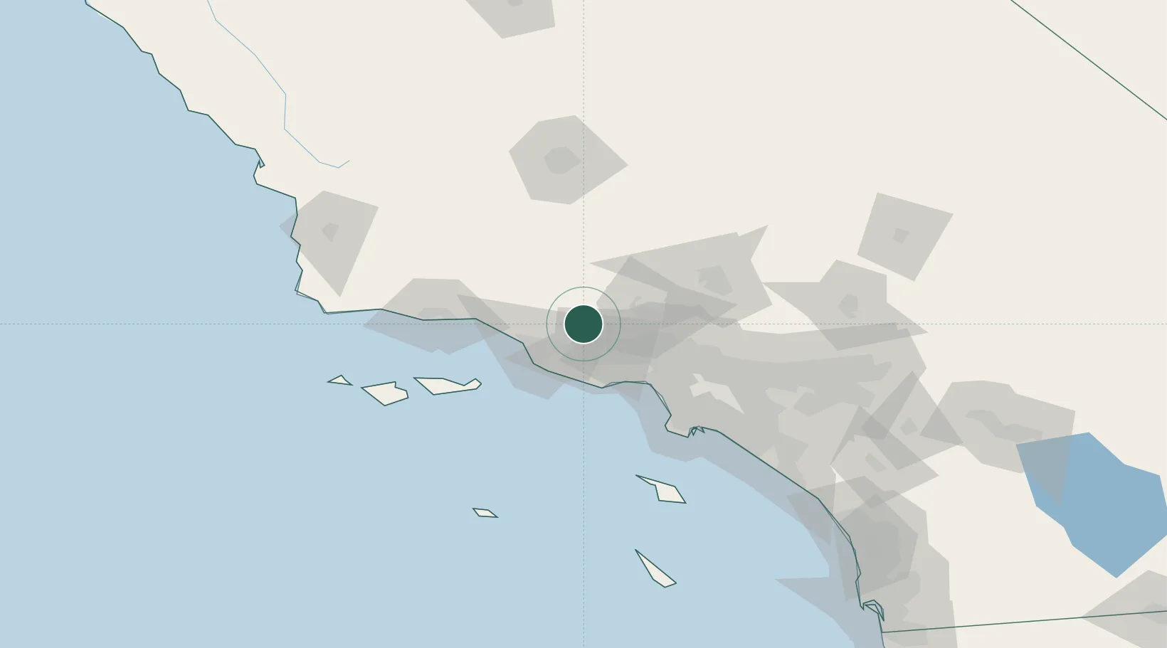
Fillmore
34.3833°, -118.9167°
15,548
Population
3
Transport functions
Transport Functions
Rail
Road
Multimodal
Hub Profile
Place type
Populated place
Region
California
Population
15,548
Time zone
America/Los_Angeles
Elevation
139 m
Location
Nearby Logistics Neighbours
Ports
- 1Ventura36 km
- 2Port Hueneme37 km
- 3Carpinteria55 km
- 4El Segundo68 km
- 5Santa Barbara70 km
Airports
Trade Zones
- 1FTZ No. 205 Port Hueneme37 km
- 2FTZ No. 191 Palmdale77 km
- 3FTZ No. 202 Los Angeles92 km
- 4FTZ No. 050 Long Beach96 km
- 5FTZ No. 276 Kern County110 km
DatabookThe Record of Consolidated Knowledge
United States beyond logistics?