Medium airport · United States
Point Mugu Naval Air Station (Naval Base Ventura Co)KNTD
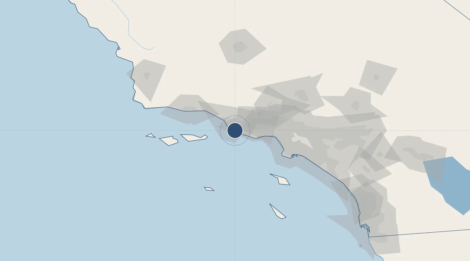
34.1203°, -119.1210°
11,102 ft
Longest runway
2
Runways
13 ft
Elevation
Runway & Layout

Radio Frequencies
ATIS
125.55 MHz
TWR
124.85 MHz
GND
121.6 MHz
CLD
120.75 MHz
CLNC DEL
A/D
128.65 MHz
APP/DEP
MISC
30.56 MHz
ANG OPS
OPS
26.75 MHz
BASE OPS
PMSV
38.635 MHz
PMSV METRO
RDO
112.5 MHz
HAWTHORNE RDO
Navaids
FIM VORTAC Fillmore 112.50 MHz
NTD TACAN Point Mugu 110.60 MHz
Runways · 2
| Runway | Dimensions | Surface | True heading | Lit |
|---|---|---|---|---|
| 03/21 | 11,102 × 200ft | Asphalt | 044° | ✓ |
| 09/27 | 5,502 × 200ft | Asphalt | 105° | ✓ |
Airport Specifications
IATA code
NTD
ICAO code
KNTD
Airport class
Medium airport
Scheduled service
No
Runway surface
Asphalt
Served city
Point Mugu
Location
Nearby Logistics Neighbours
Airports
Cities
- 1Port Hueneme8 km
- 2Ventura18 km
- 3Fillmore35 km
- 4Ojai38 km
- 5Summerland55 km
Ports
- 1Port Hueneme8 km
- 2Ventura24 km
- 3Carpinteria47 km
- 4Santa Barbara61 km
- 5El Segundo67 km
Trade Zones
- 1FTZ No. 205 Port Hueneme8 km
- 2FTZ No. 202 Los Angeles88 km
- 3FTZ No. 050 Long Beach97 km
- 4FTZ No. 191 Palmdale105 km
- 5FTZ No. 276 Kern County140 km
DatabookThe Record of Consolidated Knowledge
United States beyond logistics?