Medium airport · United States

Oxnard AirportKOXR

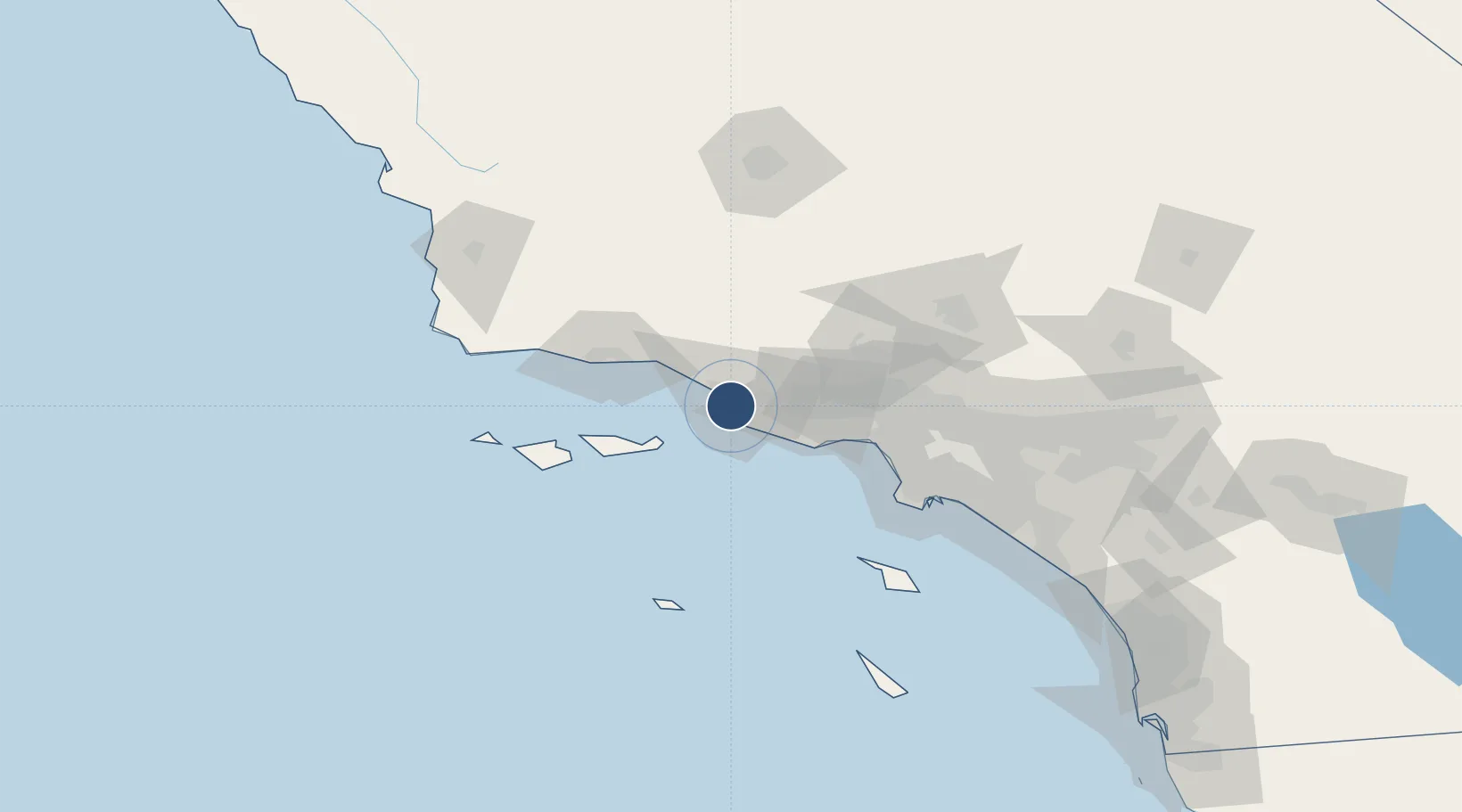
34.2008°, -119.2070°
5,953 ft
Longest runway
1
Runways
45 ft
Elevation

Runway & Layout

Oxnard Airport runway & taxiway layout
Runway & taxiway layout — OpenStreetMap (ODbL) / OurAirports

Radio Frequencies

ATIS
118.05 MHz
TWR
134.95 MHz
GND
121.9 MHz
CTAF
134.95 MHz
A/D
124.7 MHz
PT MUGU APP/DEP
OurAirports

Runways · 1

RunwayDimensions SurfaceTrue headingLit
07/25 5,953 × 100ft Asphalt 090°
OurAirports

Airport Specifications

IATA code
OXR
OurAirports
ICAO code
KOXR
OurAirports
Airport class
Medium airport
OurAirports
Scheduled service
No
OurAirports
Runway surface
Asphalt
OurAirports
Served city
Oxnard
OurAirports

Location

Location of KOXR
Natural Earth 10m (public domain) · California · KOXR · 34.20, -119.21GoogleOSMYandex

Nearby Logistics Neighbours

Airports
  1. 1Camarillo International Airport11 km
  2. 2Point Mugu Naval Air Station (Naval Base Ventura Co)12 km
  3. 3Santa Barbara Municipal Airport63 km
  4. 4Van Nuys Airport66 km
  5. 5Santa Monica Municipal Airport73 km
Nearest neighbours — logibook spatial index (haversine) over the source coordinates
Cities
  1. 1Port Hueneme6 km
  2. 2Ventura8 km
  3. 3Ojai28 km
  4. 4Fillmore34 km
  5. 5Summerland43 km
Nearest neighbours — logibook spatial index (haversine) over the source coordinates
Ports
  1. 1Port Hueneme6 km
  2. 2Ventura12 km
  3. 3Carpinteria35 km
  4. 4Santa Barbara50 km
  5. 5Ellwood70 km
Nearest neighbours — logibook spatial index (haversine) over the source coordinates
Trade Zones
  1. 1FTZ No. 205 Port Hueneme6 km
  2. 2FTZ No. 202 Los Angeles100 km
  3. 3FTZ No. 050 Long Beach108 km
  4. 4FTZ No. 191 Palmdale109 km
  5. 5FTZ No. 276 Kern County132 km
Nearest neighbours — logibook spatial index (haversine) over the source coordinates
DatabookThe Record of Consolidated Knowledge
United States beyond logistics?
Browse databook

All Sources

AirportsOurAirports
Public domain
Portsthe NGA World Port Index
Public domain (US gov)
LocationsUN/LOCODE
UN/LOCODE — free
Trade Zonesthe World Bank SEZ database
CC BY 4.0
Trade ZonesOpen Zone Map
CC BY
InfrastructureOpenStreetMap
ODbL 1.0
← United States airports