Medium airport · United States

Camarillo International AirportKCMA

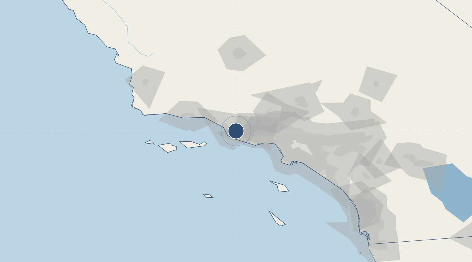
34.2137°, -119.0940°
6,013 ft
Longest runway
1
Runways
77 ft
Elevation

Runway & Layout

Camarillo International Airport runway & taxiway layout
Runway & taxiway layout — OpenStreetMap (ODbL) / OurAirports

Radio Frequencies

ATIS
126.025 MHz
TWR
128.2 MHz
GND
121.8 MHz
CLD
121.8 MHz
CLNC DEL
CTAF
128.2 MHz
A/D
124.7 MHz
PT MUGU APP/DEP
OurAirports

Runways · 1

RunwayDimensions SurfaceTrue headingLit
08/26 6,013 × 150ft Asphalt / concrete 091°
OurAirports

Airport Specifications

ICAO code
KCMA
OurAirports
Airport class
Medium airport
OurAirports
Scheduled service
No
OurAirports
Runway surface
Asphalt / concrete
OurAirports
Served city
Camarillo
OurAirports

Location

Location of KCMA
Natural Earth 10m (public domain) · California · KCMA · 34.21, -119.09GoogleOSMYandex

Nearby Logistics Neighbours

Airports
  1. 1Oxnard Airport11 km
  2. 2Point Mugu Naval Air Station (Naval Base Ventura Co)11 km
  3. 3Van Nuys Airport56 km
  4. 4Santa Monica Municipal Airport63 km
  5. 5Hollywood Burbank Airport68 km
Nearest neighbours — logibook spatial index (haversine) over the source coordinates
Cities
  1. 1Ventura11 km
  2. 2Port Hueneme13 km
  3. 3Fillmore25 km
  4. 4Ojai29 km
  5. 5Valencia52 km
Nearest neighbours — logibook spatial index (haversine) over the source coordinates
Ports
  1. 1Port Hueneme12 km
  2. 2Ventura19 km
  3. 3Carpinteria43 km
  4. 4Santa Barbara59 km
  5. 5El Segundo69 km
Nearest neighbours — logibook spatial index (haversine) over the source coordinates
Trade Zones
  1. 1FTZ No. 205 Port Hueneme12 km
  2. 2FTZ No. 202 Los Angeles92 km
  3. 3FTZ No. 191 Palmdale99 km
  4. 4FTZ No. 050 Long Beach99 km
  5. 5FTZ No. 276 Kern County129 km
Nearest neighbours — logibook spatial index (haversine) over the source coordinates
DatabookThe Record of Consolidated Knowledge
United States beyond logistics?
Browse databook

All Sources

AirportsOurAirports
Public domain
Portsthe NGA World Port Index
Public domain (US gov)
LocationsUN/LOCODE
UN/LOCODE — free
Trade Zonesthe World Bank SEZ database
CC BY 4.0
Trade ZonesOpen Zone Map
CC BY
InfrastructureOpenStreetMap
ODbL 1.0
← United States airports