UN/LOCODE hub · United States
USGO2
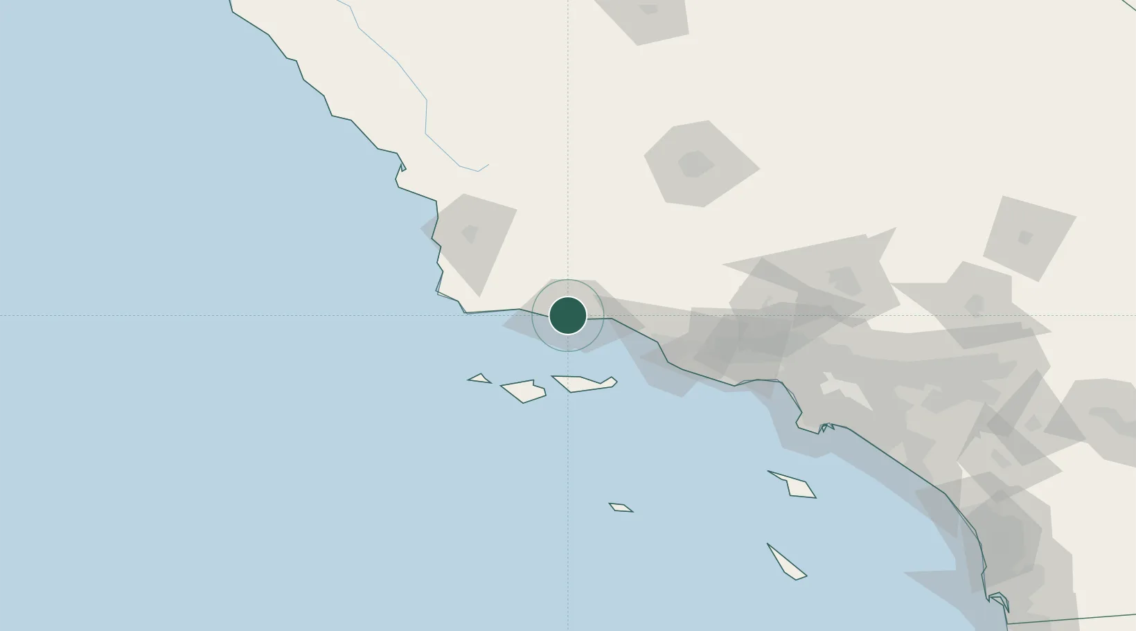
Goleta
34.4333°, -119.8333°
30,944
Population
2
Transport functions
Transport Functions
Rail
Road
Hub Profile
Place type
Populated place
Region
California
Population
30,944
Time zone
America/Los_Angeles
Elevation
6 m
Location
Nearby Logistics Neighbours
Cities
- 1Elwood5 km
- 2Ellwood5 km
- 3Capitan18 km
- 4Summerland22 km
- 5Los Alamos54 km
Ports
- 1Ellwood8 km
- 2Santa Barbara14 km
- 3Carpinteria30 km
- 4Ventura53 km
- 5Port Hueneme66 km
Airports
Trade Zones
- 1FTZ No. 205 Port Hueneme66 km
- 2FTZ No. 276 Kern County128 km
- 3FTZ No. 191 Palmdale158 km
- 4FTZ No. 202 Los Angeles162 km
- 5FTZ No. 050 Long Beach171 km
DatabookThe Record of Consolidated Knowledge
United States beyond logistics?