Large airport · United States

Van Nuys AirportKVNY

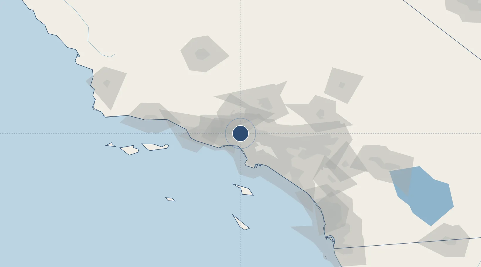
34.2098°, -118.4900°
8,001 ft
Longest runway
2
Runways
802 ft
Elevation

Runway & Layout

Van Nuys Airport runway & taxiway layout
Runway & taxiway layout — OpenStreetMap (ODbL) / OurAirports

Radio Frequencies

ATIS
118.45 MHz
TWR
119.3 MHz
TWR
120.2 MHz
GND
121.7 MHz
CLD
126.6 MHz
CLNC DEL
CTAF
119.3 MHz
A/D
120.4 MHz
SOCAL APP/DEP
UNIC
122.95 MHz
UNICOM
OurAirports

Runways · 2

RunwayDimensions SurfaceTrue headingLit
16R/34L 8,001 × 150ft Asphalt 176°
16L/34R 4,013 × 75ft Asphalt 176°
OurAirports

Airport Specifications

IATA code
VNY
OurAirports
ICAO code
KVNY
OurAirports
Airport class
Large airport
OurAirports
Scheduled service
No
OurAirports
Runway surface
Asphalt
OurAirports
Served city
Van Nuys
OurAirports

Location

Location of KVNY
Natural Earth 10m (public domain) · California · KVNY · 34.21, -118.49GoogleOSMYandex

Nearby Logistics Neighbours

Airports
  1. 1Hollywood Burbank Airport12 km
  2. 2Santa Monica Municipal Airport22 km
  3. 3Los Angeles International Airport31 km
  4. 4Jack Northrop Field Hawthorne Municipal Airport35 km
  5. 5Long Beach International Airport54 km
Nearest neighbours — logibook spatial index (haversine) over the source coordinates
Cities
  1. 1North Hills3 km
  2. 2Vermont7 km
  3. 3Westwood19 km
  4. 4Newhall20 km
  5. 5Saugus23 km
Nearest neighbours — logibook spatial index (haversine) over the source coordinates
Ports
  1. 1El Segundo33 km
  2. 2Los Angeles56 km
  3. 3Long Beach57 km
  4. 4Port Hueneme66 km
  5. 5Ventura73 km
Nearest neighbours — logibook spatial index (haversine) over the source coordinates
Trade Zones
  1. 1FTZ No. 191 Palmdale53 km
  2. 2FTZ No. 050 Long Beach55 km
  3. 3FTZ No. 202 Los Angeles56 km
  4. 4FTZ No. 205 Port Hueneme66 km
  5. 5FTZ No. 243 Victorville111 km
Nearest neighbours — logibook spatial index (haversine) over the source coordinates
DatabookThe Record of Consolidated Knowledge
United States beyond logistics?
Browse databook

All Sources

AirportsOurAirports
Public domain
Portsthe NGA World Port Index
Public domain (US gov)
LocationsUN/LOCODE
UN/LOCODE — free
Trade Zonesthe World Bank SEZ database
CC BY 4.0
Trade ZonesOpen Zone Map
CC BY
InfrastructureOpenStreetMap
ODbL 1.0
← United States airports