UN/LOCODE hub · United States
USVNT
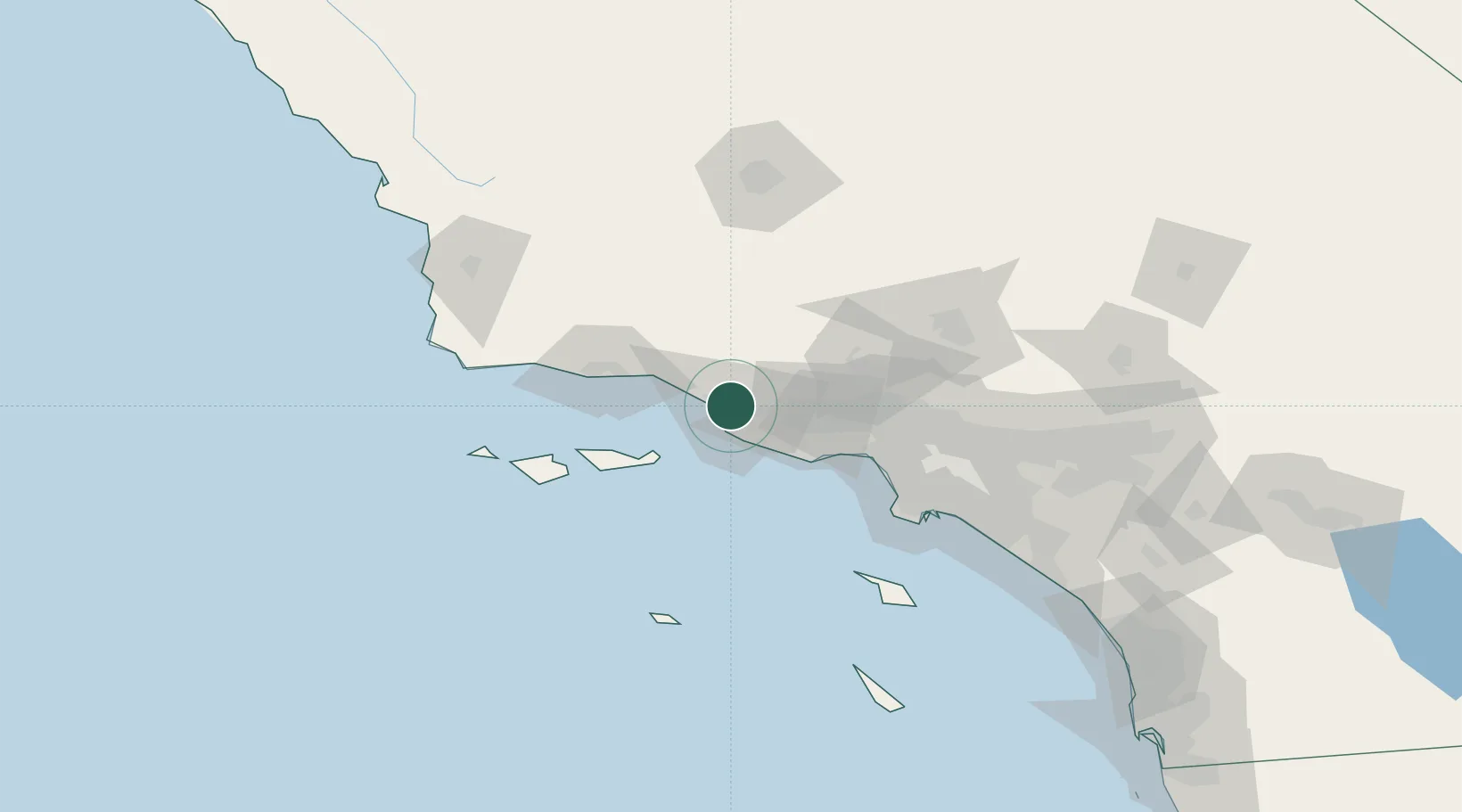
Ventura
34.2686°, -119.1914°
96,769
Population
2
Transport functions
Transport Functions
Port
Road
Hub Profile
Place type
Provincial seat
Region
California
Population
96,769
Time zone
America/Los_Angeles
Elevation
11 m
Logistics facilities
2
Location
Nearby Logistics Neighbours
Cities
- 1Port Hueneme14 km
- 2Ojai21 km
- 3Fillmore28 km
- 4Summerland41 km
- 5Valencia57 km
Ports
- 1Port Hueneme13 km
- 2Carpinteria33 km
- 3Santa Barbara48 km
- 4Ellwood69 km
- 5El Segundo80 km
Airports
Trade Zones
- 1FTZ No. 205 Port Hueneme13 km
- 2FTZ No. 202 Los Angeles102 km
- 3FTZ No. 191 Palmdale105 km
- 4FTZ No. 050 Long Beach110 km
- 5FTZ No. 276 Kern County124 km
DatabookThe Record of Consolidated Knowledge
United States beyond logistics?