UN/LOCODE hub · United States
USNTD
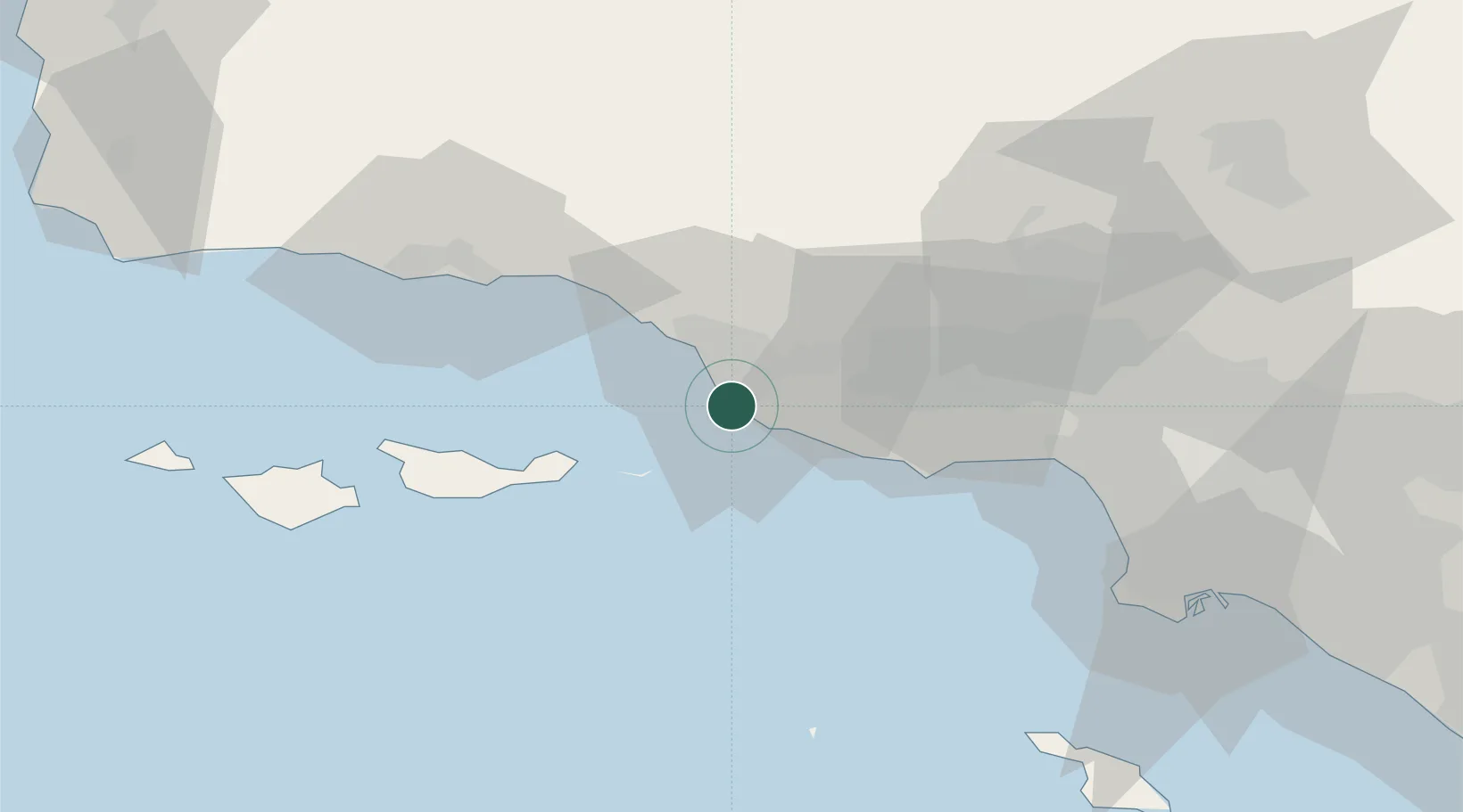
Port Hueneme
34.1475°, -119.2056°
22,423
Population
5
Transport functions
1
Container terminals
Transport Functions
Port
Rail
Road
Airport
Multimodal
Hub Profile
Place type
Populated place
Region
California
Population
22,423
Time zone
America/Los_Angeles
Elevation
4 m
Logistics facilities
1
Container terminals
1
Location
Nearby Logistics Neighbours
Cities
- 1Ventura14 km
- 2Ojai34 km
- 3Fillmore37 km
- 4Summerland47 km
- 5Valencia64 km
Ports
- 1Ventura17 km
- 2Carpinteria39 km
- 3Santa Barbara53 km
- 4Ellwood73 km
- 5El Segundo76 km
Airports
Trade Zones
- 1FTZ No. 205 Port Hueneme1 km
- 2FTZ No. 202 Los Angeles97 km
- 3FTZ No. 050 Long Beach105 km
- 4FTZ No. 191 Palmdale111 km
- 5FTZ No. 276 Kern County137 km
DatabookThe Record of Consolidated Knowledge
United States beyond logistics?