Channel & Berth Profile
Pilotage, Tugs & Services
Pilotage compulsoryYES
Tug assistanceNO
Salvage tugsNO
Shore powerYES
Potable waterYES
Diesel bunkersYES
MedicalYES
Facilities & Capabilities
Container—
Ro-Ro—
Liquid bulk—
Dry bulk—
Oil terminal—
Break bulk—
Dry dock—
RepairsNO
BunkeringYES
Rail link—
Dangerous cargo—
ISPS security—
Harbour Specifications
Harbour size
Small
Harbour type
River (Natural)
Shelter
Excellent
Water body
Lake Huron; Great Lakes
Overhead limit
Yes
Pilotage
Yes
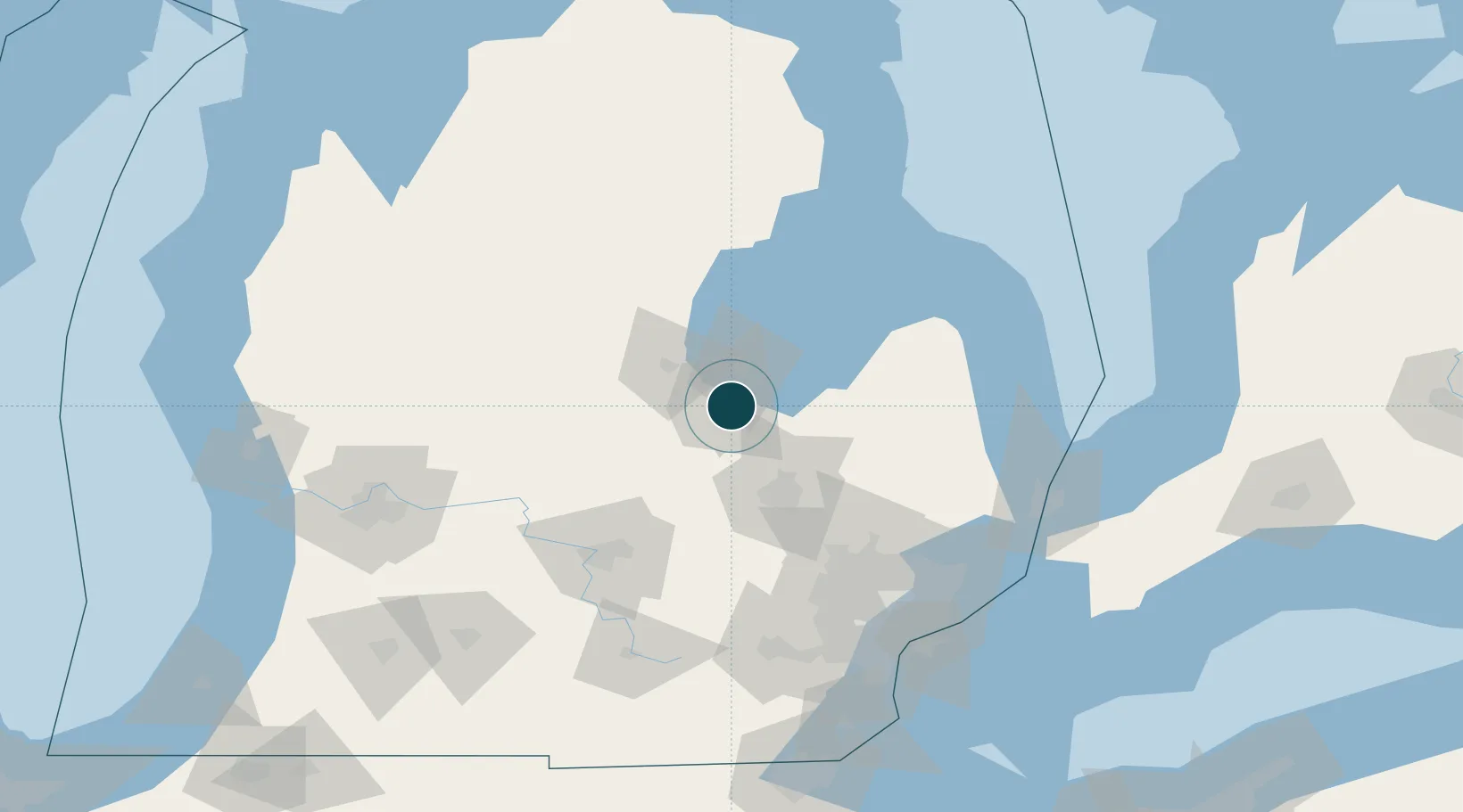
Location
Nearby Logistics Neighbours
Ports
- 1Bay City19 km
- 2Alabaster89 km
- 3Tawas City99 km
- 4Harbor Beach113 km
- 5Oscoda120 km
Cities
- 1Saint Charles23 km
- 2Kawkawlin24 km
- 3Clio32 km
- 4Linwood33 km
- 5Oakley38 km
Airports
Trade Zones
- 1FTZ No. 284 Genesee County48 km
- 2FTZ No. 140 Flint49 km
- 3FTZ No. 101 Clinton County85 km
- 4FTZ No. 210 St. Clair County132 km
- 5FTZ No. 070 Detroit133 km
DatabookThe Record of Consolidated Knowledge
United States beyond logistics?