UN/LOCODE hub · United States
USZIB

Saint Charles

43.2833°, -84.1333°
2,054
Population
3
Transport functions

Transport Functions

Rail
Road
Multimodal
UN/LOCODE

Hub Profile

Place type
Populated place
GeoNames
Region
Michigan
GeoNames
Population
2,054
GeoNames
Time zone
America/Detroit
GeoNames
Elevation
182 m
GeoNames

Location

Location of USZIB
Natural Earth 10m (public domain) · Michigan · USZIB · 43.28, -84.13GoogleOSMYandex

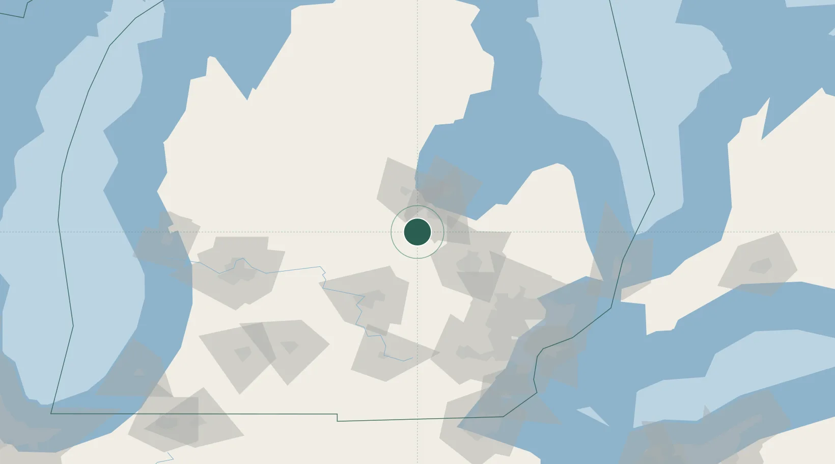
Nearby Logistics Neighbours

Cities
  1. 1Oakley17 km
  2. 2Wheeler28 km
  3. 3Clio34 km
  4. 4Ovid37 km
  5. 5Durand43 km
Nearest neighbours — logibook spatial index (haversine) over the source coordinates
Ports
  1. 1Saginaw23 km
  2. 2Bay City41 km
  3. 3Alabaster111 km
  4. 4Tawas City121 km
  5. 5Harbor Beach135 km
Nearest neighbours — logibook spatial index (haversine) over the source coordinates
Airports
  1. 1MBS International Airport28 km
  2. 2Bishop International Airport47 km
  3. 3Capital Region International Airport67 km
  4. 4Oakland County International Airport90 km
  5. 5Jackson County Airport/Reynolds Field117 km
Nearest neighbours — logibook spatial index (haversine) over the source coordinates
Trade Zones
  1. 1FTZ No. 284 Genesee County34 km
  2. 2FTZ No. 140 Flint42 km
  3. 3FTZ No. 101 Clinton County62 km
  4. 4FTZ No. 070 Detroit127 km
  5. 5FTZ No. 210 St. Clair County140 km
Nearest neighbours — logibook spatial index (haversine) over the source coordinates
DatabookThe Record of Consolidated Knowledge
United States beyond logistics?
Browse databook

All Sources

LocationsUN/LOCODE
UN/LOCODE — free
LocationsGeoNames
CC BY 4.0
Portsthe NGA World Port Index
Public domain (US gov)
AirportsOurAirports
Public domain
Trade Zonesthe World Bank SEZ database
CC BY 4.0
Trade ZonesOpen Zone Map
CC BY
← United States locations