Medium airport · United States

Capital Region International AirportKLAN
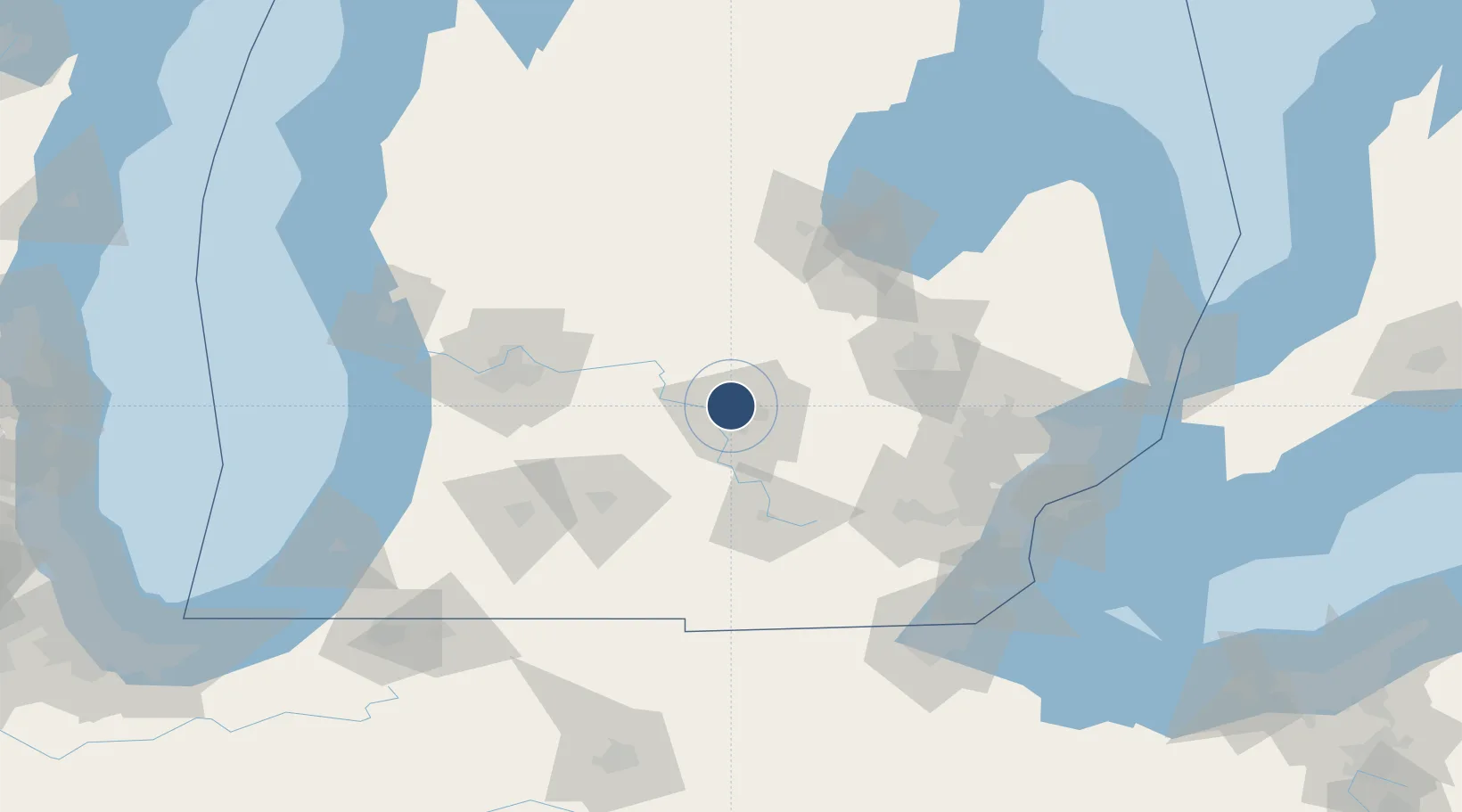
42.7776°, -84.5857°
8,506 ft
Longest runway
3
Runways
861 ft
Elevation

Runway & Layout

Capital Region International Airport runway & taxiway layout
Runway & taxiway layout — OpenStreetMap (ODbL) / OurAirports

Radio Frequencies

ATIS
119.75 MHz
TWR
119.9 MHz
LANSING TWR
GND
121.9 MHz
CLD
123.675 MHz
CLNC DEL
A/D
118.65 MHz
LANSING APP/DEP
RDO
122.2 MHz
LANSING RDO
UNIC
122.95 MHz
UNICOM
OurAirports

Navaids

LA NDB Artda 206 kHz
LAN VORTAC Lansing 110.80 MHz
OurAirports

Runways · 3

RunwayDimensions SurfaceTrue headingLit
10R/28L 8,506 × 150ft Asphalt 091°
06/24 5,003 × 120ft Asphalt / concrete 053°
10L/28R 3,601 × 75ft Asphalt 091°
OurAirports

Airport Specifications

IATA code
LAN
OurAirports
ICAO code
KLAN
OurAirports
Airport class
Medium airport
OurAirports
Scheduled service
Yes
OurAirports
Runway surface
Asphalt
OurAirports
Served city
Lansing
OurAirports

Location

Location of KLAN
Natural Earth 10m (public domain) · Michigan · KLAN · 42.78, -84.59GoogleOSMYandex

Nearby Logistics Neighbours

Airports
  1. 1Jackson County Airport/Reynolds Field58 km
  2. 2Bishop International Airport72 km
  3. 3Battle Creek Executive Airport at Kellogg Field76 km
  4. 4Gerald R. Ford International Airport77 km
  5. 5MBS International Airport93 km
Nearest neighbours — logibook spatial index (haversine) over the source coordinates
Cities
  1. 1East Lansing10 km
  2. 2Holt15 km
  3. 3Okemos15 km
  4. 4Potterville20 km
  5. 5Mulliken26 km
Nearest neighbours — logibook spatial index (haversine) over the source coordinates
Ports
  1. 1Saginaw90 km
  2. 2Bay City108 km
  3. 3Holland126 km
  4. 4Wyandotte134 km
  5. 5Detroit136 km
Nearest neighbours — logibook spatial index (haversine) over the source coordinates
Trade Zones
  1. 1FTZ No. 101 Clinton County22 km
  2. 2FTZ No. 284 Genesee County56 km
  3. 3FTZ No. 140 Flint72 km
  4. 4FTZ No. 043 Battle Creek75 km
  5. 5FTZ No. 070 Detroit120 km
Nearest neighbours — logibook spatial index (haversine) over the source coordinates
DatabookThe Record of Consolidated Knowledge
United States beyond logistics?
Browse databook

All Sources

AirportsOurAirports
Public domain
Portsthe NGA World Port Index
Public domain (US gov)
LocationsUN/LOCODE
UN/LOCODE — free
Trade Zonesthe World Bank SEZ database
CC BY 4.0
Trade ZonesOpen Zone Map
CC BY
InfrastructureOpenStreetMap
ODbL 1.0
← United States airports