Transport Functions
Port
Hub Profile
Place type
Populated place
Region
Michigan
Time zone
America/Detroit
Elevation
182 m
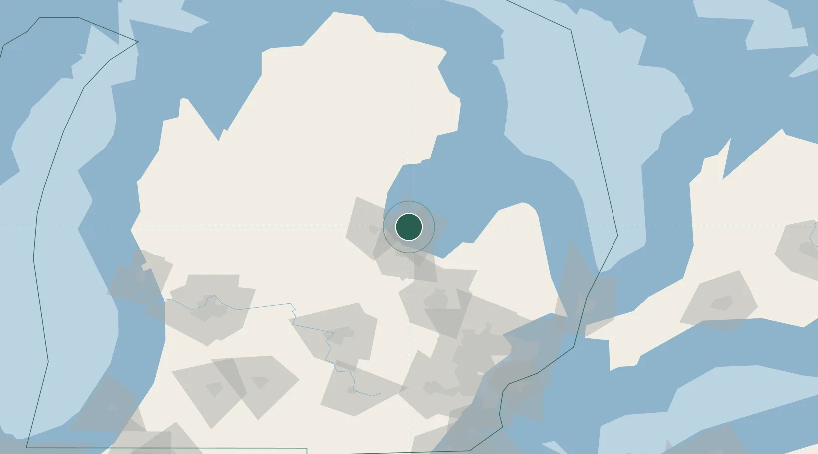
Location
Nearby Logistics Neighbours
Cities
- 1Linwood9 km
- 2Sanford35 km
- 3Standish37 km
- 4Saint Charles44 km
- 5Caro47 km
Ports
- 1Bay City8 km
- 2Saginaw24 km
- 3Alabaster67 km
- 4Tawas City77 km
- 5Oscoda99 km
Airports
Trade Zones
- 1FTZ No. 284 Genesee County72 km
- 2FTZ No. 140 Flint72 km
- 3FTZ No. 101 Clinton County102 km
- 4FTZ No. 210 St. Clair County146 km
- 5FTZ No. 070 Detroit155 km
DatabookThe Record of Consolidated Knowledge
United States beyond logistics?