Transport Functions
Rail
Road
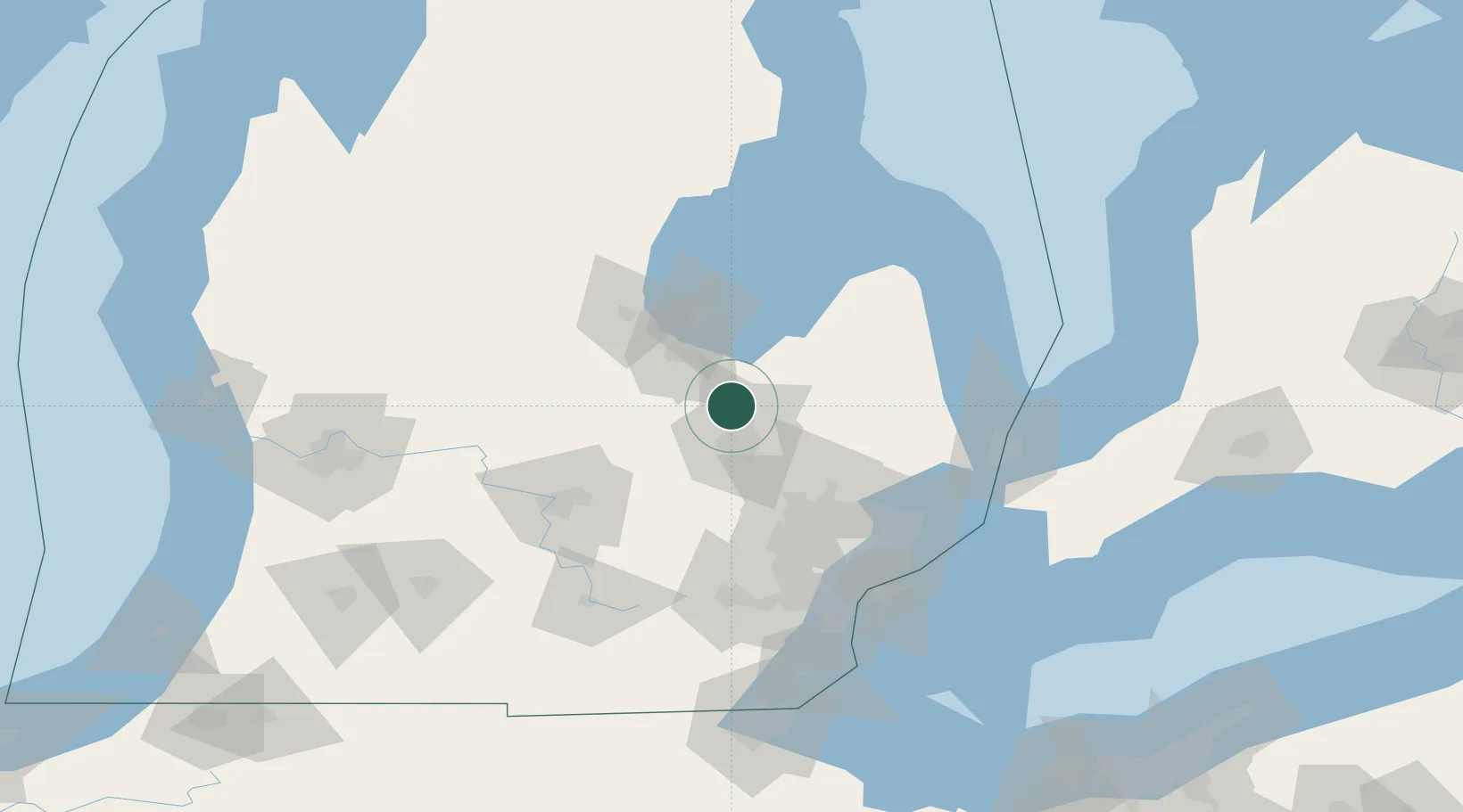
Hub Profile
Place type
Populated place
Region
Michigan
Population
2,536
Time zone
America/Detroit
Elevation
220 m
Location
Nearby Logistics Neighbours
Cities
- 1Davison26 km
- 2Grand Blanc31 km
- 3Saint Charles34 km
- 4Oakley36 km
- 5Durand36 km
Ports
- 1Saginaw32 km
- 2Bay City48 km
- 3Port Huron108 km
- 4Point Edward109 km
- 5Sarnia109 km
Airports
Trade Zones
- 1FTZ No. 140 Flint19 km
- 2FTZ No. 284 Genesee County28 km
- 3FTZ No. 101 Clinton County86 km
- 4FTZ No. 070 Detroit101 km
- 5FTZ No. 210 St. Clair County105 km
DatabookThe Record of Consolidated Knowledge
United States beyond logistics?