Medium airport · United States

Selfridge Air National Guard Base AirportKMTC
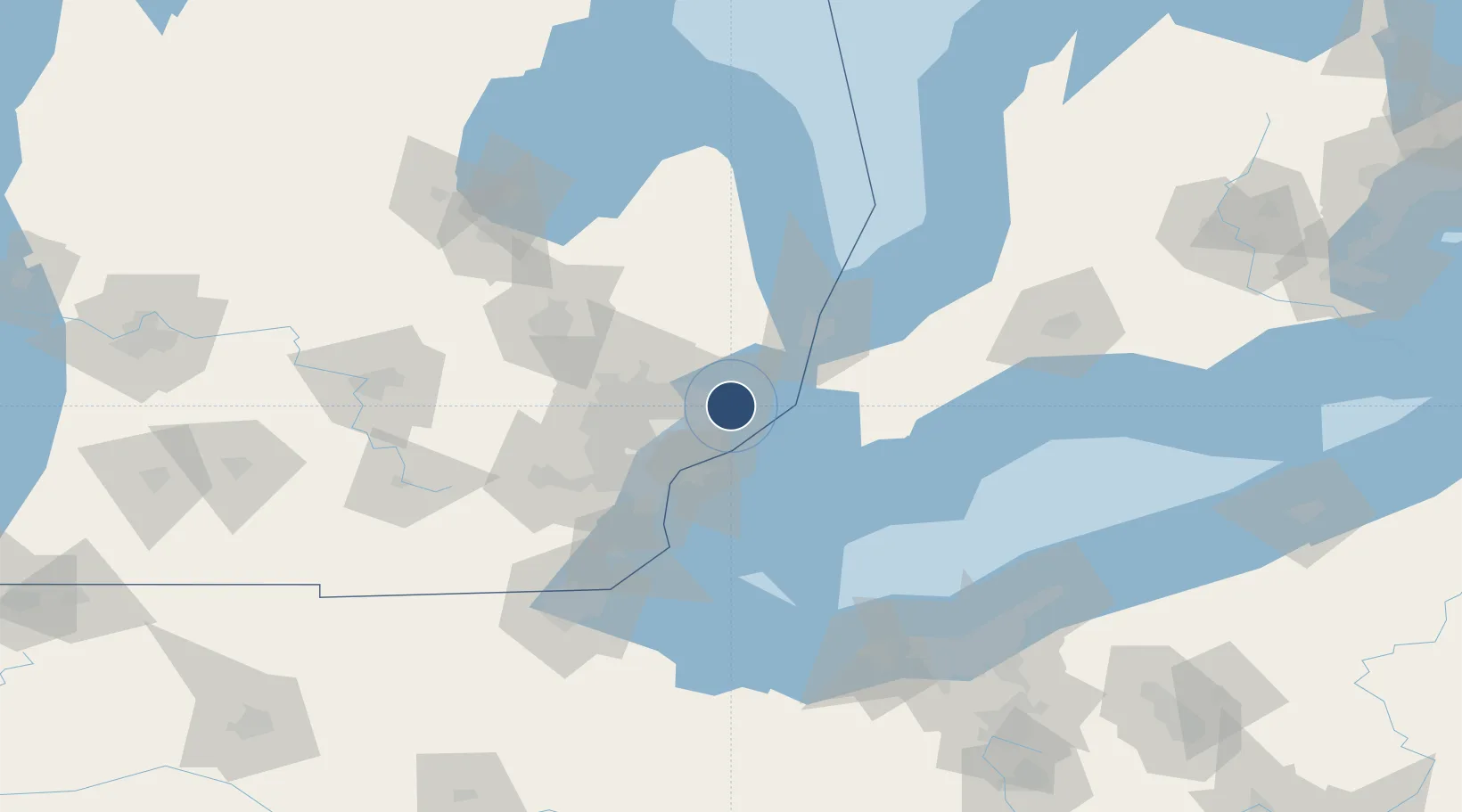
42.6135°, -82.8369°
9,000 ft
Longest runway
1
Runways
580 ft
Elevation

Runway & Layout

Selfridge Air National Guard Base Airport runway & taxiway layout
Runway & taxiway layout — OpenStreetMap (ODbL) / OurAirports

Radio Frequencies

ATIS
125.325 MHz
TWR
120.15 MHz
GND
128.3 MHz
CLD
119 MHz
CLNC DEL
APP
119.6 MHz
DEP
119.6 MHz
A/G
31.42 MHz
927 ARW OPS
MISC
38.18 MHz
USCG DETROIT AIR
OPS
148.525 MHz
WING COMD POST
PMSV
34.25 MHz
PMSV/METRO
PTD
134.85 MHz
OurAirports

Navaids

MTC TACAN Selfridge 133.70 MHz
OurAirports

Runways · 1

RunwayDimensions SurfaceTrue headingLit
01/19 9,000 × 150ft Asphalt / concrete 002°
OurAirports

Airport Specifications

IATA code
MTC
OurAirports
ICAO code
KMTC
OurAirports
Airport class
Medium airport
OurAirports
Scheduled service
No
OurAirports
Runway surface
Asphalt / concrete
OurAirports
Served city
Mount Clemens
OurAirports

Location

Location of KMTC
Natural Earth 10m (public domain) · Michigan · KMTC · 42.61, -82.84GoogleOSMYandex

Nearby Logistics Neighbours

Airports
  1. 1Coleman A. Young Municipal Airport27 km
  2. 2Windsor International Airport39 km
  3. 3Oakland County International Airport48 km
  4. 4Chris Hadfield Airport61 km
  5. 5Detroit Metropolitan Wayne County Airport61 km
Nearest neighbours — logibook spatial index (haversine) over the source coordinates
Cities
  1. 1Saint Clair Shores15 km
  2. 2Center Line21 km
  3. 3Grosse Point Woods21 km
  4. 4Richmond22 km
  5. 5Armada25 km
Nearest neighbours — logibook spatial index (haversine) over the source coordinates
Ports
  1. 1Algonac26 km
  2. 2Sombra31 km
  3. 3Detroit35 km
  4. 4St Clair37 km
  5. 5Windsor37 km
Nearest neighbours — logibook spatial index (haversine) over the source coordinates
Trade Zones
  1. 1FTZ No. 210 St. Clair County35 km
  2. 2Windsor - Essex Foreign Trade Zone36 km
  3. 3FTZ No. 070 Detroit44 km
  4. 4FTZ No. 140 Flint88 km
  5. 5FTZ No. 284 Genesee County102 km
Nearest neighbours — logibook spatial index (haversine) over the source coordinates
DatabookThe Record of Consolidated Knowledge
United States beyond logistics?
Browse databook

All Sources

AirportsOurAirports
Public domain
Portsthe NGA World Port Index
Public domain (US gov)
LocationsUN/LOCODE
UN/LOCODE — free
Trade Zonesthe World Bank SEZ database
CC BY 4.0
Trade ZonesOpen Zone Map
CC BY
InfrastructureOpenStreetMap
ODbL 1.0
← United States airports