UN/LOCODE hub · United States
USOK4

Oakley

43.1333°, -84.1667°
278
Population
2
Transport functions

Transport Functions

Road
Multimodal
UN/LOCODE

Hub Profile

Place type
Populated place
GeoNames
Region
Michigan
GeoNames
Population
278
GeoNames
Time zone
America/Detroit
GeoNames
Elevation
208 m
GeoNames

Location

Location of USOK4
Natural Earth 10m (public domain) · Michigan · USOK4 · 43.13, -84.17GoogleOSMYandex

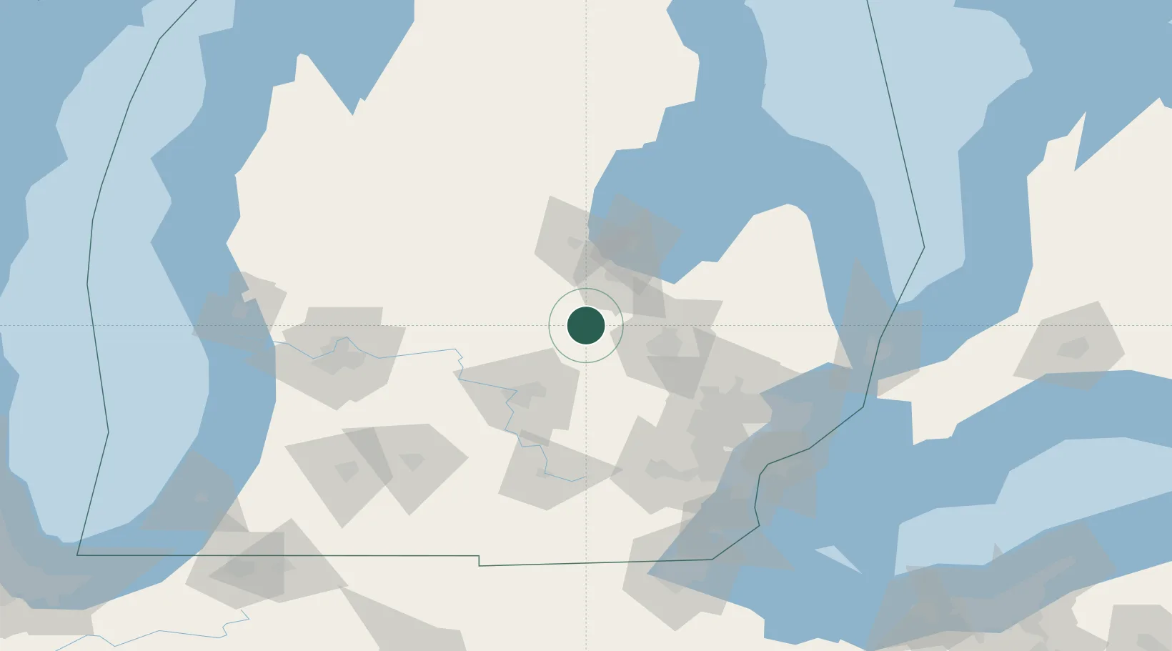
Nearby Logistics Neighbours

Cities
  1. 1Saint Charles17 km
  2. 2Ovid22 km
  3. 3Durand28 km
  4. 4Perry35 km
  5. 5Clio36 km
Nearest neighbours — logibook spatial index (haversine) over the source coordinates
Ports
  1. 1Saginaw38 km
  2. 2Bay City57 km
  3. 3Alabaster127 km
  4. 4Detroit128 km
  5. 5Windsor130 km
Nearest neighbours — logibook spatial index (haversine) over the source coordinates
Airports
  1. 1Bishop International Airport39 km
  2. 2MBS International Airport45 km
  3. 3Capital Region International Airport52 km
  4. 4Oakland County International Airport80 km
  5. 5Jackson County Airport/Reynolds Field100 km
Nearest neighbours — logibook spatial index (haversine) over the source coordinates
Trade Zones
  1. 1FTZ No. 284 Genesee County22 km
  2. 2FTZ No. 140 Flint35 km
  3. 3FTZ No. 101 Clinton County51 km
  4. 4FTZ No. 070 Detroit115 km
  5. 5FTZ No. 043 Battle Creek127 km
Nearest neighbours — logibook spatial index (haversine) over the source coordinates
DatabookThe Record of Consolidated Knowledge
United States beyond logistics?
Browse databook

All Sources

LocationsUN/LOCODE
UN/LOCODE — free
LocationsGeoNames
CC BY 4.0
Portsthe NGA World Port Index
Public domain (US gov)
AirportsOurAirports
Public domain
Trade Zonesthe World Bank SEZ database
CC BY 4.0
Trade ZonesOpen Zone Map
CC BY
← United States locations