Transport Functions
Rail
Road
Multimodal
Hub Profile
Place type
Populated place
Region
Michigan
Time zone
America/Detroit
Elevation
178 m
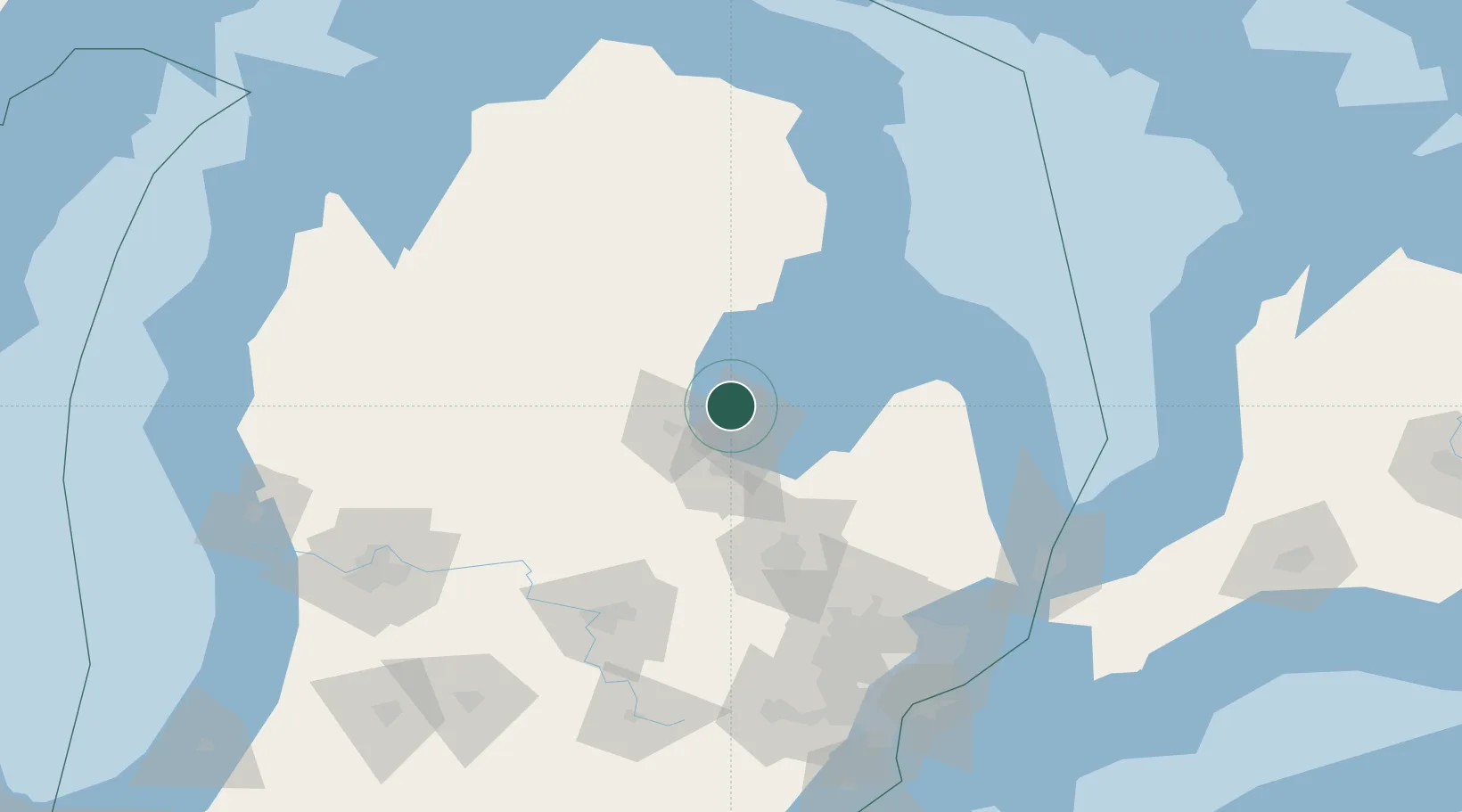
Location
Nearby Logistics Neighbours
Ports
- 1Bay City16 km
- 2Saginaw33 km
- 3Alabaster59 km
- 4Tawas City69 km
- 5Oscoda91 km
Airports
Trade Zones
- 1FTZ No. 284 Genesee County81 km
- 2FTZ No. 140 Flint82 km
- 3FTZ No. 101 Clinton County109 km
- 4FTZ No. 210 St. Clair County153 km
- 5FTZ No. 070 Detroit164 km
DatabookThe Record of Consolidated Knowledge
United States beyond logistics?