UN/LOCODE hub · United States
USCD4
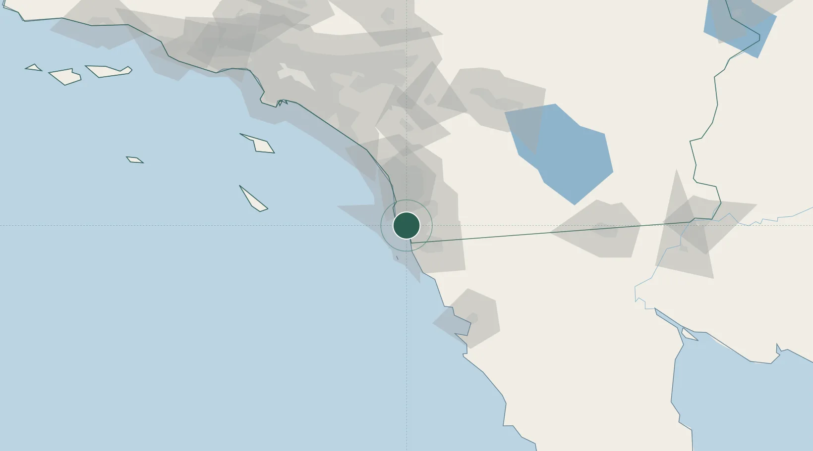
Coronado
32.6833°, -117.1667°
24,812
Population
2
Transport functions
Transport Functions
Port
Road
Hub Profile
Place type
Populated place
Region
California
Population
24,812
Time zone
America/Los_Angeles
Elevation
5 m
Location
Nearby Logistics Neighbours
Cities
- 1San Diego8 km
- 2Lemon Grove14 km
- 3Bonita15 km
- 4Spring Valley, San Diego18 km
- 5Sorrento25 km
Ports
- 1San Diego4 km
- 2Rosarito36 km
- 3Ensenada104 km
- 4Newport Beach124 km
- 5Avalon130 km
Airports
Trade Zones
- 1FTZ No. 153 San Diego12 km
- 2FTZ No. 244 Riverside County137 km
- 3FTZ No. 236 Palm Springs141 km
- 4FTZ No. 257 Imperial County151 km
- 5FTZ No. 050 Long Beach154 km
DatabookThe Record of Consolidated Knowledge
United States beyond logistics?