UN/LOCODE hub · United States
USSAN
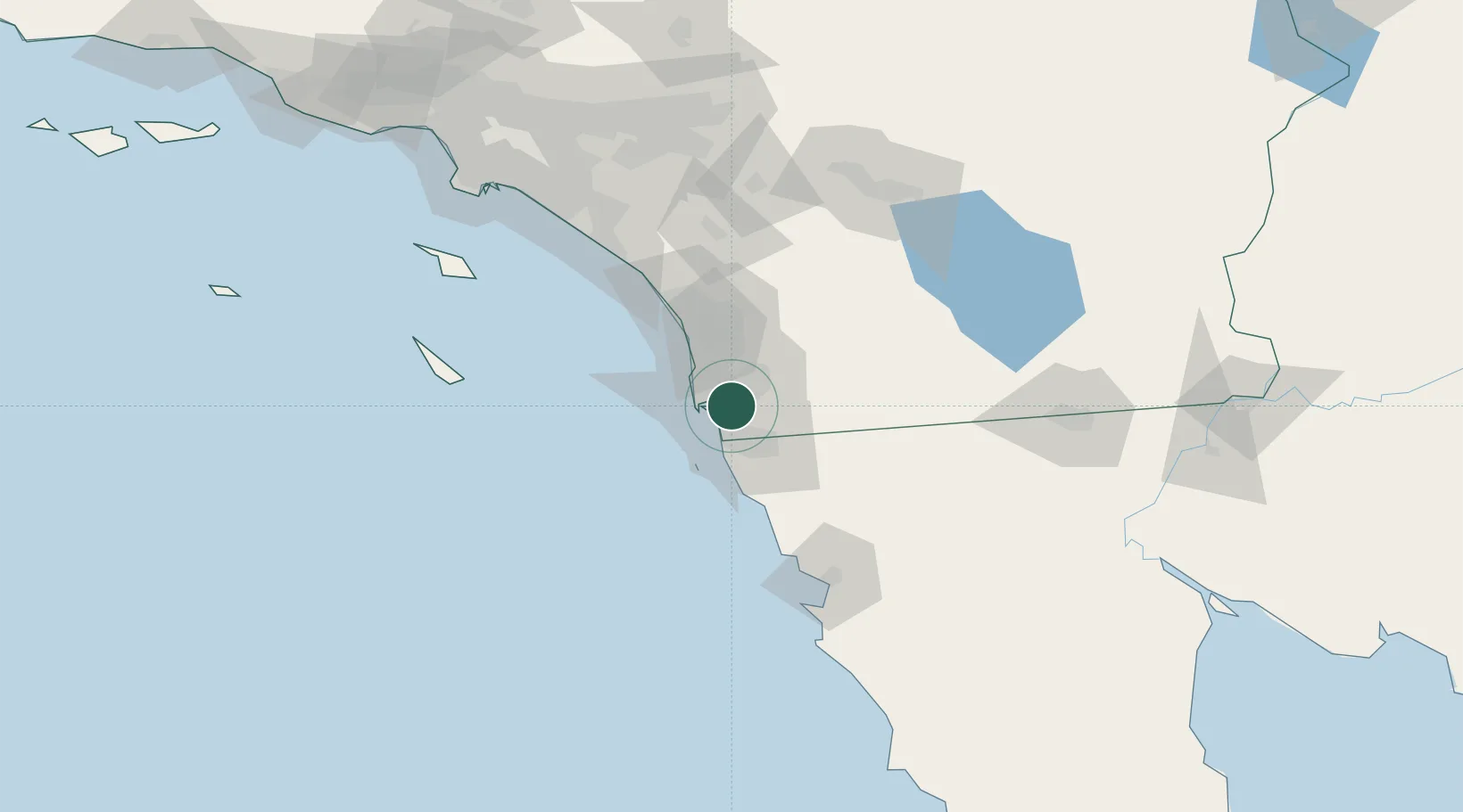
San Diego
32.6983°, -117.0807°
1,404,452
Population
3
Transport functions
1
Container terminals
Transport Functions
Port
Road
Airport
Hub Profile
Place type
Provincial seat
Region
California
Population
1,404,452
Time zone
America/Los_Angeles
Elevation
20 m
Logistics facilities
36
Container terminals
1
Location
Nearby Logistics Neighbours
Cities
- 1Lemon Grove6 km
- 2Bonita8 km
- 3Coronado8 km
- 4Spring Valley, San Diego10 km
- 5Lakeside23 km
Ports
- 1Rosarito37 km
- 2Ensenada102 km
- 3Newport Beach128 km
- 4Avalon136 km
- 5Long Beach157 km
Airports
Trade Zones
- 1FTZ No. 153 San Diego10 km
- 2FTZ No. 236 Palm Springs136 km
- 3FTZ No. 244 Riverside County136 km
- 4FTZ No. 257 Imperial County143 km
- 5FTZ No. 050 Long Beach158 km
DatabookThe Record of Consolidated Knowledge
United States beyond logistics?