Medium airport · United States
North Island Naval Air Station-Halsey FieldKNZY
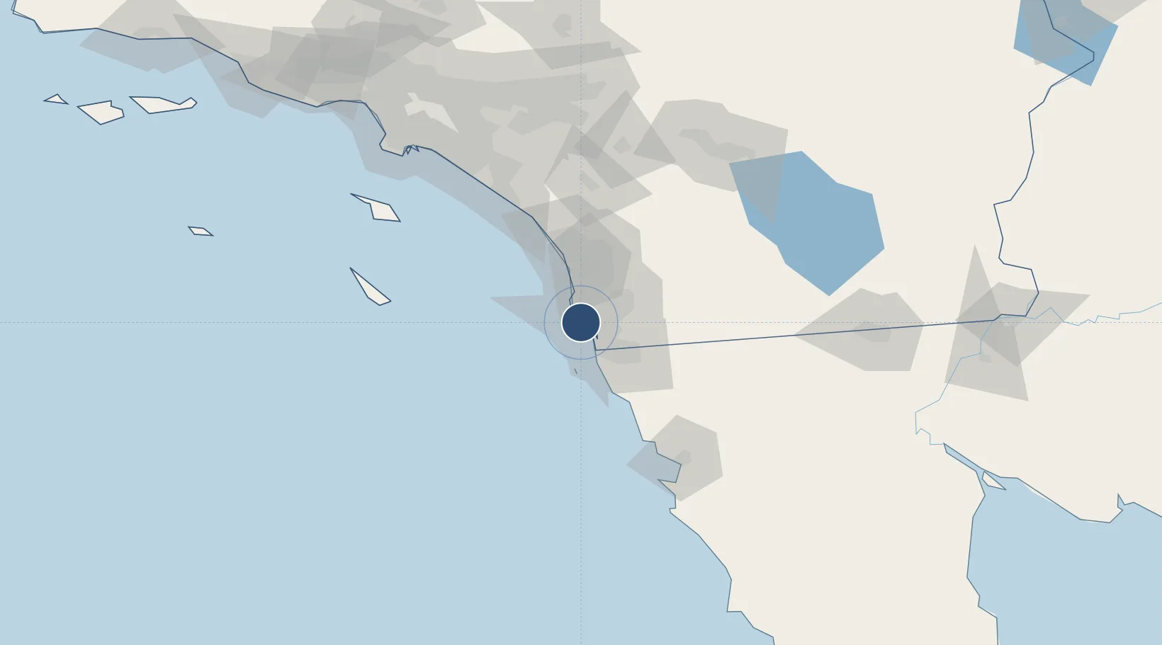
32.6992°, -117.2150°
8,001 ft
Longest runway
2
Runways
26 ft
Elevation
Runway & Layout

Radio Frequencies
ATIS
31.78 MHz
TWR
135.1 MHz
GND
118 MHz
CLD
128.4 MHz
CLNC DEL
A/D
125.15 MHz
SOCAL APP/DEP
MISC
142.95 MHz
ARNG OPS
OPS
35.55 MHz
BASE OPS
PMSV
34.235 MHz
PMSV METRO
Navaids
NZY TACAN North Island 117.00 MHz
Runways · 2
| Runway | Dimensions | Surface | True heading | Lit |
|---|---|---|---|---|
| 18/36 | 8,001 × 200ft | Asphalt / concrete | 196° | ✓ |
| 11/29 | 7,501 × 200ft | Asphalt / concrete | 122° | ✓ |
Airport Specifications
IATA code
NZY
ICAO code
KNZY
Airport class
Medium airport
Scheduled service
No
Runway surface
Asphalt / concrete
Served city
San Diego
Location
Nearby Logistics Neighbours
Airports
Cities
- 1Coronado5 km
- 2San Diego13 km
- 3Lemon Grove17 km
- 4Bonita19 km
- 5Spring Valley, San Diego22 km
Ports
- 1San Diego4 km
- 2Rosarito39 km
- 3Ensenada108 km
- 4Newport Beach120 km
- 5Avalon126 km
Trade Zones
- 1FTZ No. 153 San Diego17 km
- 2FTZ No. 244 Riverside County135 km
- 3FTZ No. 236 Palm Springs141 km
- 4FTZ No. 050 Long Beach150 km
- 5FTZ No. 202 Los Angeles153 km
DatabookThe Record of Consolidated Knowledge
United States beyond logistics?