UN/LOCODE hub · United States
USPGY

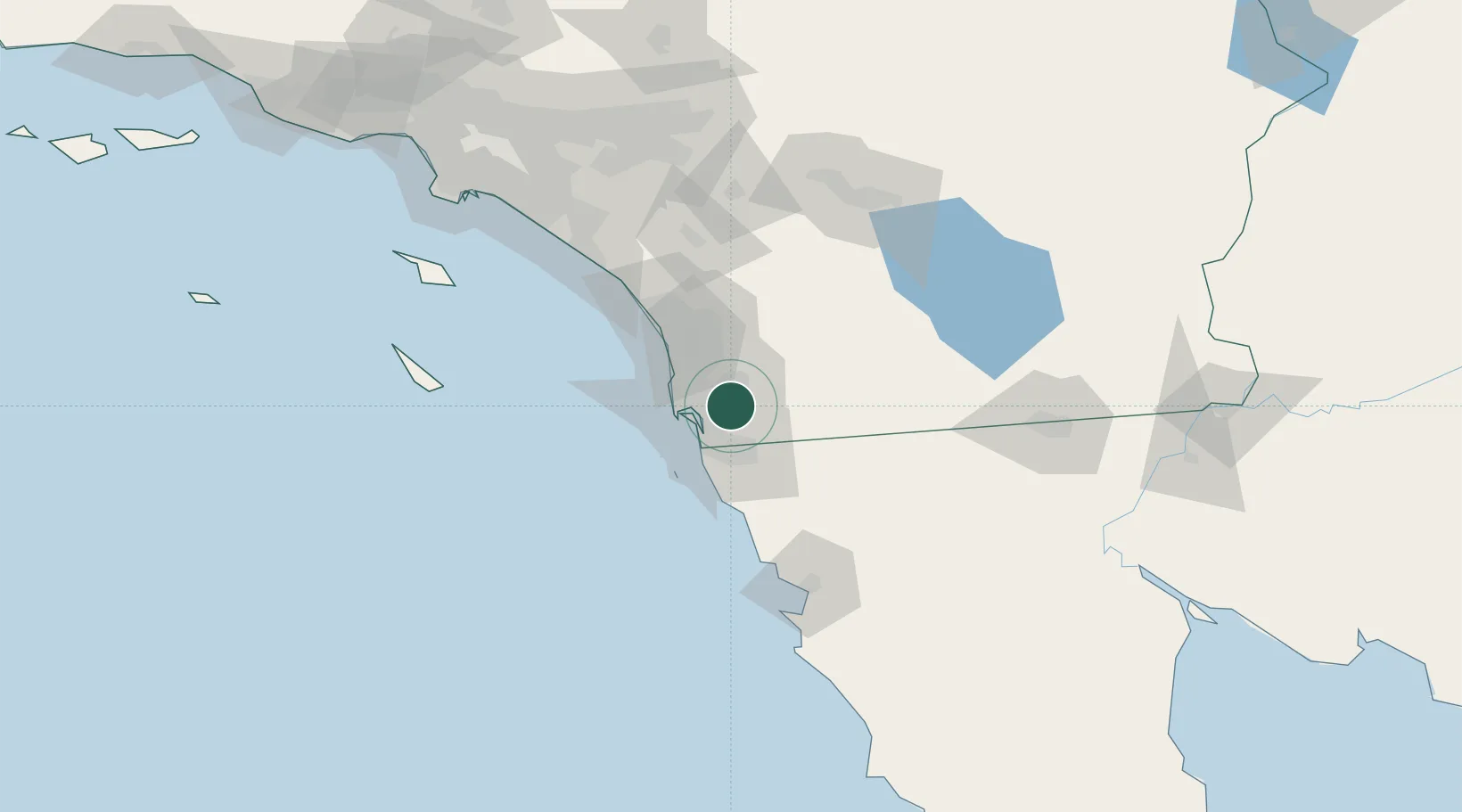
Spring Valley, San Diego

32.7333°, -116.9833°
3
Transport functions

Transport Functions

Port
Road
Multimodal
UN/LOCODE

Hub Profile

Region
CA
GeoNames

Location

Location of USPGY
Natural Earth 10m (public domain) · CA · USPGY · 32.73, -116.98GoogleOSMYandex

Nearby Logistics Neighbours

Cities
  1. 1Lemon Grove5 km
  2. 2Bonita10 km
  3. 3San Diego10 km
  4. 4Lakeside14 km
  5. 5Coronado18 km
Nearest neighbours — logibook spatial index (haversine) over the source coordinates
Ports
  1. 1San Diego19 km
  2. 2Rosarito42 km
  3. 3Ensenada102 km
  4. 4Newport Beach130 km
  5. 5Avalon142 km
Nearest neighbours — logibook spatial index (haversine) over the source coordinates
Trade Zones
  1. 1FTZ No. 153 San Diego16 km
  2. 2FTZ No. 236 Palm Springs129 km
  3. 3FTZ No. 257 Imperial County134 km
  4. 4FTZ No. 244 Riverside County134 km
  5. 5FTZ No. 050 Long Beach161 km
Nearest neighbours — logibook spatial index (haversine) over the source coordinates
DatabookThe Record of Consolidated Knowledge
United States beyond logistics?
Browse databook

All Sources

LocationsUN/LOCODE
UN/LOCODE — free
Portsthe NGA World Port Index
Public domain (US gov)
AirportsOurAirports
Public domain
Trade Zonesthe World Bank SEZ database
CC BY 4.0
Trade ZonesOpen Zone Map
CC BY
← United States locations