Medium airport · United States
Miramar Marine Corps Air Station - Mitscher FieldKNKX
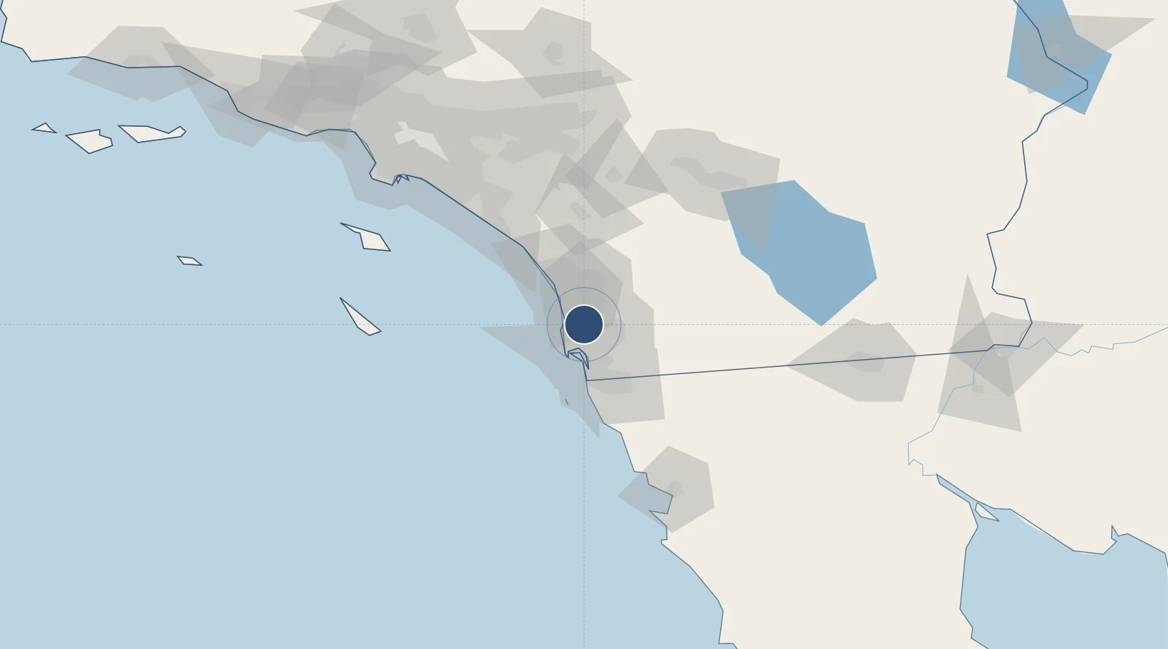
32.8684°, -117.1430°
12,000 ft
Longest runway
2
Runways
477 ft
Elevation
Runway & Layout

Radio Frequencies
ATIS
35.2 MHz
TWR
135.2 MHz
GND
128.625 MHz
CLD
125.975 MHz
CLNC DEL
APP
132.2 MHz
SOCAL APP
DEP
119.6 MHz
SOCAL DEP
PMSV
34.24 MHz
PMSV METRO
PTD
33.562 MHz
Navaids
NKX TACAN Miramar 109.60 MHz
Runways · 2
| Runway | Dimensions | Surface | True heading | Lit |
|---|---|---|---|---|
| 06L/24R | 12,000 × 200ft | Concrete | 075° | ✓ |
| 06R/24L | 8,001 × 200ft | Asphalt / concrete | 075° | ✓ |
Airport Specifications
IATA code
NKX
ICAO code
KNKX
Airport class
Medium airport
Scheduled service
No
Runway surface
Concrete
Served city
San Diego
Location
Nearby Logistics Neighbours
Airports
Cities
- 1Sorrento8 km
- 2Del Mar, San Diego16 km
- 3Lemon Grove18 km
- 4Rancho Bernardo19 km
- 5San Diego20 km
Ports
- 1San Diego17 km
- 2Rosarito56 km
- 3Newport Beach109 km
- 4Ensenada121 km
- 5Avalon122 km
Trade Zones
- 1FTZ No. 153 San Diego30 km
- 2FTZ No. 244 Riverside County117 km
- 3FTZ No. 236 Palm Springs121 km
- 4FTZ No. 050 Long Beach140 km
- 5FTZ No. 202 Los Angeles144 km
DatabookThe Record of Consolidated Knowledge
United States beyond logistics?