UN/LOCODE hub · United States
USOET
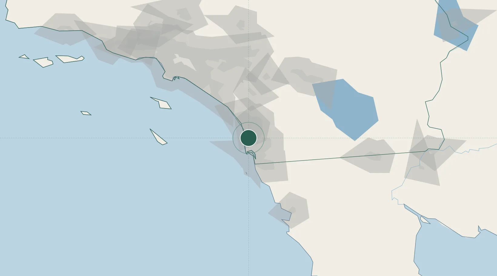
Sorrento
32.9000°, -117.2167°
1,582
Population
2
Transport functions
Transport Functions
Road
Multimodal
Hub Profile
Place type
Populated place
Region
Louisiana
Population
1,582
Time zone
America/Chicago
Elevation
2 m
Location
Nearby Logistics Neighbours
Cities
- 1Del Mar, San Diego9 km
- 2Cardiff by the Sea14 km
- 3Leucadia20 km
- 4Rancho Bernardo20 km
- 5Coronado25 km
Ports
- 1San Diego21 km
- 2Rosarito60 km
- 3Newport Beach102 km
- 4Avalon114 km
- 5Ensenada127 km
Airports
Trade Zones
- 1FTZ No. 153 San Diego35 km
- 2FTZ No. 244 Riverside County113 km
- 3FTZ No. 236 Palm Springs122 km
- 4FTZ No. 050 Long Beach133 km
- 5FTZ No. 202 Los Angeles136 km
DatabookThe Record of Consolidated Knowledge
United States beyond logistics?