Large airport · United States
San Diego International AirportKSAN
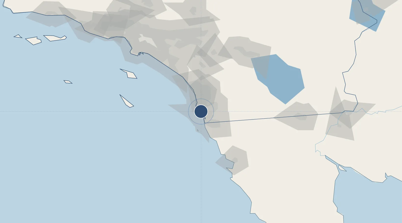
32.7336°, -117.1900°
9,401 ft
Longest runway
1
Runways
17 ft
Elevation
Runway & Layout

Radio Frequencies
ATIS
134.8 MHz
TWR
118.3 MHz
LINDBERGH TWR
GND
123.9 MHz
LINDBERGH GROUND
CLD
125.9 MHz
CLNC DEL
A/D
119.6 MHz
SOCAL A/D WEST
A/D
124.35 MHz
SOCAL A/D EAST
MISC
157.15 MHz
CG
MISC
898.4 MHz
CG
UNIC
122.95 MHz
UNICOM
Navaids
AN NDB Boing 245 kHz
Runways · 1
| Runway | Dimensions | Surface | True heading | Lit |
|---|---|---|---|---|
| 09/27 | 9,401 × 200ft | Asphalt / concrete | 106° | ✓ |
Airport Specifications
IATA code
SAN
ICAO code
KSAN
Airport class
Large airport
Scheduled service
Yes
Runway surface
Asphalt / concrete
Served city
San Diego
Location
Nearby Logistics Neighbours
Airports
Cities
- 1Coronado6 km
- 2San Diego11 km
- 3Lemon Grove15 km
- 4Sorrento19 km
- 5Bonita19 km
Ports
- 1San Diego2 km
- 2Rosarito42 km
- 3Ensenada110 km
- 4Newport Beach118 km
- 5Avalon125 km
Trade Zones
- 1FTZ No. 153 San Diego18 km
- 2FTZ No. 244 Riverside County131 km
- 3FTZ No. 236 Palm Springs137 km
- 4FTZ No. 050 Long Beach149 km
- 5FTZ No. 202 Los Angeles151 km
DatabookThe Record of Consolidated Knowledge
United States beyond logistics?