Medium airport · United States
Dupage AirportKDPA
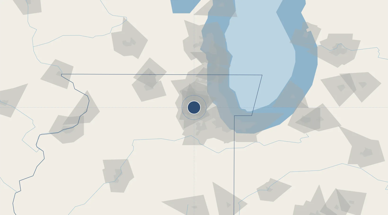
41.9078°, -88.2486°
7,571 ft
Longest runway
4
Runways
759 ft
Elevation
Runway & Layout

Radio Frequencies
ATIS
124.8 MHz
ASOS
124.8 MHz
TWR
120.9 MHz
GND
121.8 MHz
CLD
119.75 MHz
CLNC DEL
A/D
133.5 MHz
CHICAGO APP/DEP
RDO
122.3 MHz
KANKAKEE RDO
UNIC
122.95 MHz
UNICOM
Runways · 4
| Runway | Dimensions | Surface | True heading | Lit |
|---|---|---|---|---|
| 02L/20R | 7,571 × 150ft | Concrete | 014° | ✓ |
| 02R/20L | 6,451 × 100ft | Concrete | 014° | ✓ |
| 10/28 | 4,750 × 75ft | Asphalt | 096° | ✓ |
| 15/33 | 3,399 × 100ft | Asphalt | 148° | ✓ |
Airport Specifications
IATA code
DPA
ICAO code
KDPA
Airport class
Medium airport
Scheduled service
No
Runway surface
Concrete
Served city
Chicago/West Chicago
Location
Nearby Logistics Neighbours
Airports
Cities
- 1South Elgin9 km
- 2Glendale Heights15 km
- 3Elburn17 km
- 4Itasca20 km
- 5Sugar Grove23 km
Ports
- 1Wilmette51 km
- 2Chicago54 km
- 3Great Lakes56 km
- 4Waukegan62 km
- 5Calumet Harbor64 km
Trade Zones
- 1FTZ No. 022 Chicago32 km
- 2FTZ No. 292 Lake County55 km
- 3FTZ No. 176 Rockford88 km
- 4FTZ No. 152 Burns Harbor96 km
- 5FTZ No. 041 Milwaukee128 km
DatabookThe Record of Consolidated Knowledge
United States beyond logistics?