Foreign Trade Zone · United States

FTZ No. 176 Rockford Active
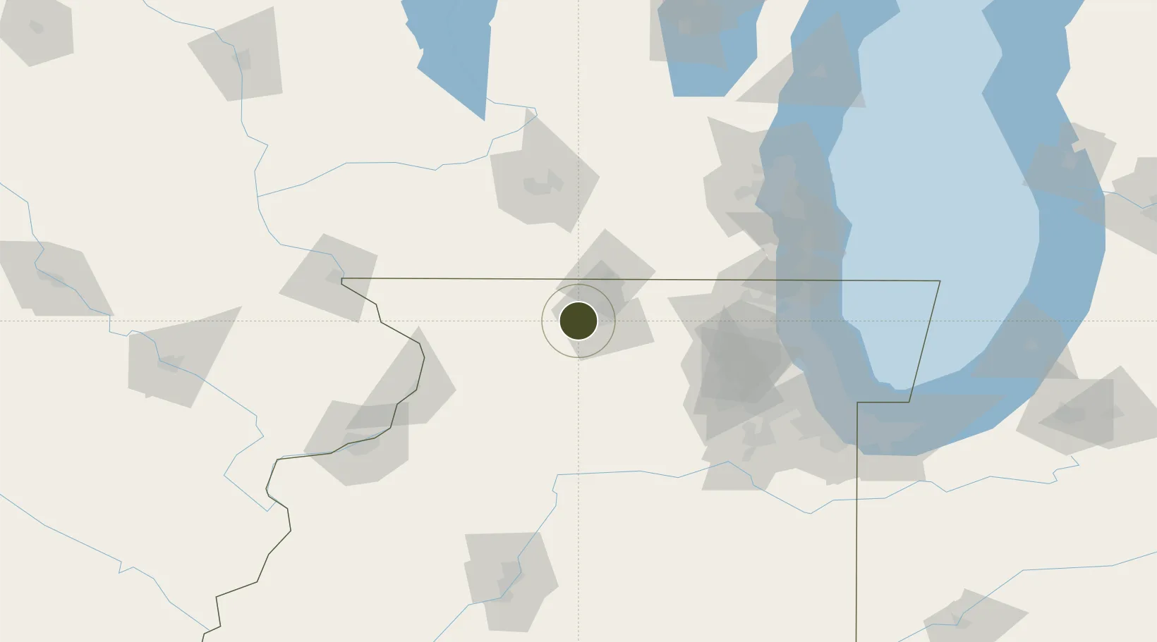
42.2529°, -89.2081°
113.2 km
Nearest port
11.2 km
Nearest airport

Gateway access

Nearest neighbours — logibook spatial index (haversine) over the source coordinates

Zone profile

Zone type
Foreign Trade Zone
Open Zone Map
Region
Illinois
Open Zone Map
Status
Active
Open Zone Map
Management
Public
Open Zone Map
Operator
Greater Rockford Airport Authority
Open Zone Map
Legal framework
Foreign-Trade Zones Act
Open Zone Map

Location

Location of ozm-4823
Natural Earth 10m (public domain) · Illinois · ozm-4823 · 42.25, -89.21GoogleOSMYandex

Nearby Logistics Neighbours

Ports
  1. 1Great Lakes113 km
  2. 2Waukegan115 km
  3. 3Kenosha120 km
  4. 4Wilmette127 km
  5. 5Racine129 km
Nearest neighbours — logibook spatial index (haversine) over the source coordinates
Airports
  1. 1Chicago Rockford International Airport11 km
  2. 2Dupage Airport88 km
  3. 3Dane County Regional Truax Field99 km
  4. 4Chicago Executive Airport109 km
  5. 5Chicago O'Hare International Airport112 km
Nearest neighbours — logibook spatial index (haversine) over the source coordinates
Cities
  1. 1Winnebago2 km
  2. 2Seward12 km
  3. 3Pecatonica13 km
  4. 4Loves Park15 km
  5. 5Byron16 km
Nearest neighbours — logibook spatial index (haversine) over the source coordinates
Trade Zones
  1. 1FTZ No. 271 Jo-Daviess and Carroll Counties85 km
  2. 2FTZ No. 266 Dane County99 km
  3. 3FTZ No. 292 Lake County109 km
  4. 4FTZ No. 022 Chicago120 km
  5. 5FTZ No. 041 Milwaukee127 km
Nearest neighbours — logibook spatial index (haversine) over the source coordinates
DatabookThe Record of Consolidated Knowledge
United States beyond logistics?
Browse databook

All Sources

Trade ZonesOpen Zone Map
CC BY
Portsthe NGA World Port Index
Public domain (US gov)
AirportsOurAirports
Public domain
LocationsUN/LOCODE
UN/LOCODE — free
← United States trade zones