Transport Functions
Road
Multimodal
Hub Profile
Place type
Populated place
Region
Wisconsin
Time zone
America/Chicago
Elevation
227 m
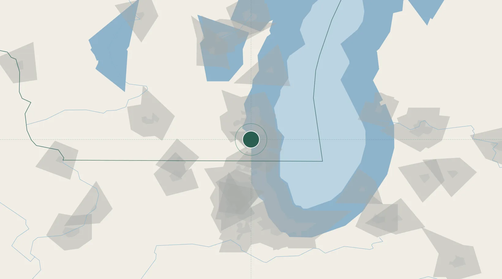
Location
Nearby Logistics Neighbours
Cities
- 1Caledonia8 km
- 2Muskego15 km
- 3Milwaukee15 km
- 4Kansasville15 km
- 5South Milwaukee18 km
Ports
- 1Racine20 km
- 2Milwaukee28 km
- 3Kenosha29 km
- 4Waukegan51 km
- 5Great Lakes58 km
Airports
Trade Zones
- 1FTZ No. 041 Milwaukee30 km
- 2FTZ No. 292 Lake County54 km
- 3FTZ No. 022 Chicago108 km
- 4FTZ No. 176 Rockford115 km
- 5FTZ No. 019 Omaha117 km
DatabookThe Record of Consolidated Knowledge
United States beyond logistics?